What is recorded here
Situated on a S-facing slope. The cropmark of a large oval enclosure (dims c. 105m N-S; c. 75m E-W) is visible only on iMAPs (2022). It is defined by what are probably two closely spaced ditch features NW-E-SE which combine into a wider E-W ditch (L c. 40m) at S and then turns NW. The perimeter is truncated by a N-S field bank at W (L c. 65m) and an E-W field bank runs through the E part. It was first reported by Jean Charles Caillére.
See the attached enhanced view from iMAPs (2022)
Compiled by: Michael Moore
Date of upload: 6 June 2023
The monument record does not grant public access. Check the route and ask the landowner before entering private land.
- What survives
- Recorded monument
Places near here
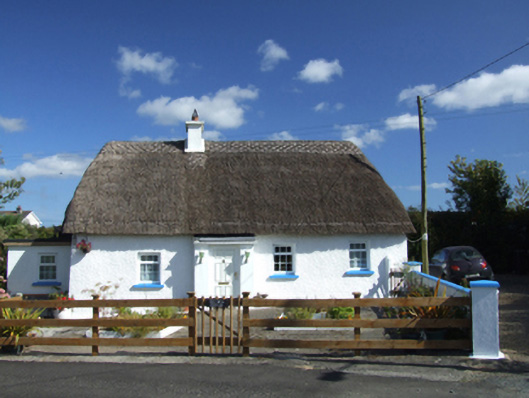 Old Mill Cottagehouse · 454 yd
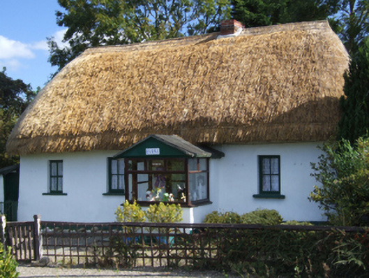 Dreybrinehouse · 471 yd
 St Molings WellHoly well · 1011 yd
 IndicatedFairy fort / earthen ringfort · 1537 yd
 Bird BoxesVisitor information · 1.3 mi
 Fontainebleau service treeFontainebleau service tree · 1.4 mi
 Birds of PreyVisitor information · 1.5 mi
 Father Murphy CentreHeritage attraction · 3.0 mi
 Kilnamanagh Grave YardArchaeological place · 3.1 mi
 Oulart HillMountain / peak · 3.4 mi
 The CoilWood · 3.4 mi
 Carrigroe HillMountain / peak · 3.4 mi