
What is recorded here
Described as St. Moling's Well on the 1839 and 1924 eds of the OS 6-inch map, and situated on the NE bank of a NW-SE stream, in its steep-sided valley. This is a U-shaped well (dims. 1.25m E-W; 0.8m N-S) defined by a drystone wall and open to the E. It is roofed with lintels, and the pattern was held on the 17th of June according to John O'Donovan writing c. 1840 (O'Flanagan 1933, vol. 2, 226) but there is no evidence of veneration now. Moiling was descended from the Uí Dhealga, a branch of ruling Uí Cheinsealaigh in south Leinster. His church at St. Mullin's, Co. Carlow (CW026-011----) bacame a popular centre of pilgrimage that continues to the present. He died in 697 but c. 1160 St. Mullins was granted to the Augustinians at Ferns, who produce two Latin lives of Moling, and there was always a close association between the centres (Ó Riain 2011, 487-90). Moling's church (WX016-021001-), the parish church of Monamoling, is c. 370m to the NNE. (O'Broin 1983-4, 34)
Compiled by: Michael Moore
Date of upload: 15 June, 2012
Amended: 29 April, 2014
St Moling's Well is associated with St Moling, a 7th-century Irish saint known for his asceticism and healing miracles. The well, traditionally visited for its curative properties, particularly for skin ailments and general wellness, is said to have been a site of pilgrimage and early Christian worship.
The monument record does not grant public access. Check the route and ask the landowner before entering private land.
- What survives
- Recorded monument
Places near here
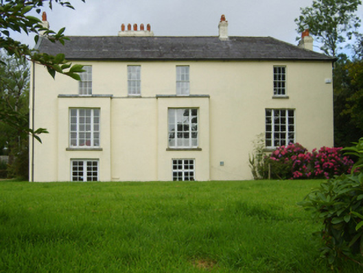 rectory/glebe/vicarage/curate's houserectory/glebe/vicarage/curate's house · 292 yd
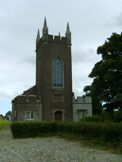 Saint Moling's Church (Monamolin)church/chapel · 401 yd
 Enclosure in BarraglanEnclosure · 742 yd
 IndicatedFairy fort / earthen ringfort · 974 yd
 Fontainebleau service treeFontainebleau service tree · 1.7 mi
 Bird BoxesVisitor information · 1.7 mi
 Birds of PreyVisitor information · 1.9 mi
 Father Murphy CentreHeritage attraction · 2.5 mi
 The CoilWood · 2.8 mi
 Carrigroe HillMountain / peak · 2.9 mi
 Giants BedNamed rock · 3.0 mi
 Boley HillMountain / peak · 3.2 mi
Other information
Photo: Credit not shown in the picture search · Rights wording not checked; contact us if this picture should be removed