What is recorded here
Located on a slight rise in a level landscape. This is depicted on the 1836 and 1912 editions of the OS 6-inch map as a large enclosure and described as a ‘Fort’ on the former. It is a large subcircular grass-covered and slightly domed (H 1m) area (dims c. 90m E-W; c. 75m N-S) defined by an earthen bank (at ESE: Wth 4m; int. H 0.3m; ext. H 1.4m), and an outer fosse or ditch (at ESE: Wth of top 4m; ext. D 0.5m; at WNW: Wth of top 9m; int. D 1.5m; ext. D 0.4m) W-N-E. The interior is cut by a NE-SW field bank and drain SE of the centre, and this field bank and the perimeter around the SE part of the enclosure are covered in bushes. An original entrance is not identified.
Compiled by: Michael Moore
Date of revision: 9 August 2019
Amended:24 March 2023
The monument record does not grant public access. Check the route and ask the landowner before entering private land.
- What survives
- Recorded monument
Places near here
 EnclosureEnclosure, large enclosure · 1330 yd
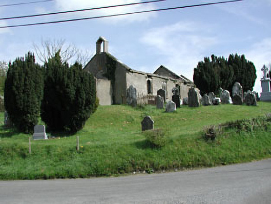 Saint Nicholas's Church (Castlerickard)church/chapel · 1.1 mi
 CastleCastle, motte · 1.1 mi
 Saint Mary's Cemeterygraveyard/cemetery · 1.2 mi
 Common LimeCommon Lime · 1.3 mi
 European BeechEuropean Beech · 1.4 mi
 Concentric enclosure in ClonguiffinConcentric enclosure · 1.8 mi
 Donore CastleCastle · 2.0 mi
 Croppies' GraveMemorial · 4.4 mi
 Cloncurry GraveyardHeritage attraction · 6.1 mi
 The Grill ShackHeritage attraction · 9.4 mi
 Mass was there in Penal TimesMemorial · 11 mi