What is recorded here
In pasture. A sub-circular enclosure (dims. c. 85m N-S; c. 80m E-W) identified on Google Earth Pro imagery (imagery date 16 December 2016) by Jean-Charles Caillère. A N-S field boundary runs along the E edge of the enclosure and traces of a former field boundary, indicated on the 1st ed. 6-inch OS map, run NW-SE across the S portion of the enclosure.
See attached photograph:
TS067-134----_01 Image ©2019 CNEW/Airbus: Google Earth Pro satellite imagery (16 December 2016)
Compiled by: Jean Farrelly
Date of upload: 11 December 2019
The monument record does not grant public access. Check the route and ask the landowner before entering private land.
- What survives
- Recorded monument
Places near here
 Ballagh FortEnclosure · 704 yd
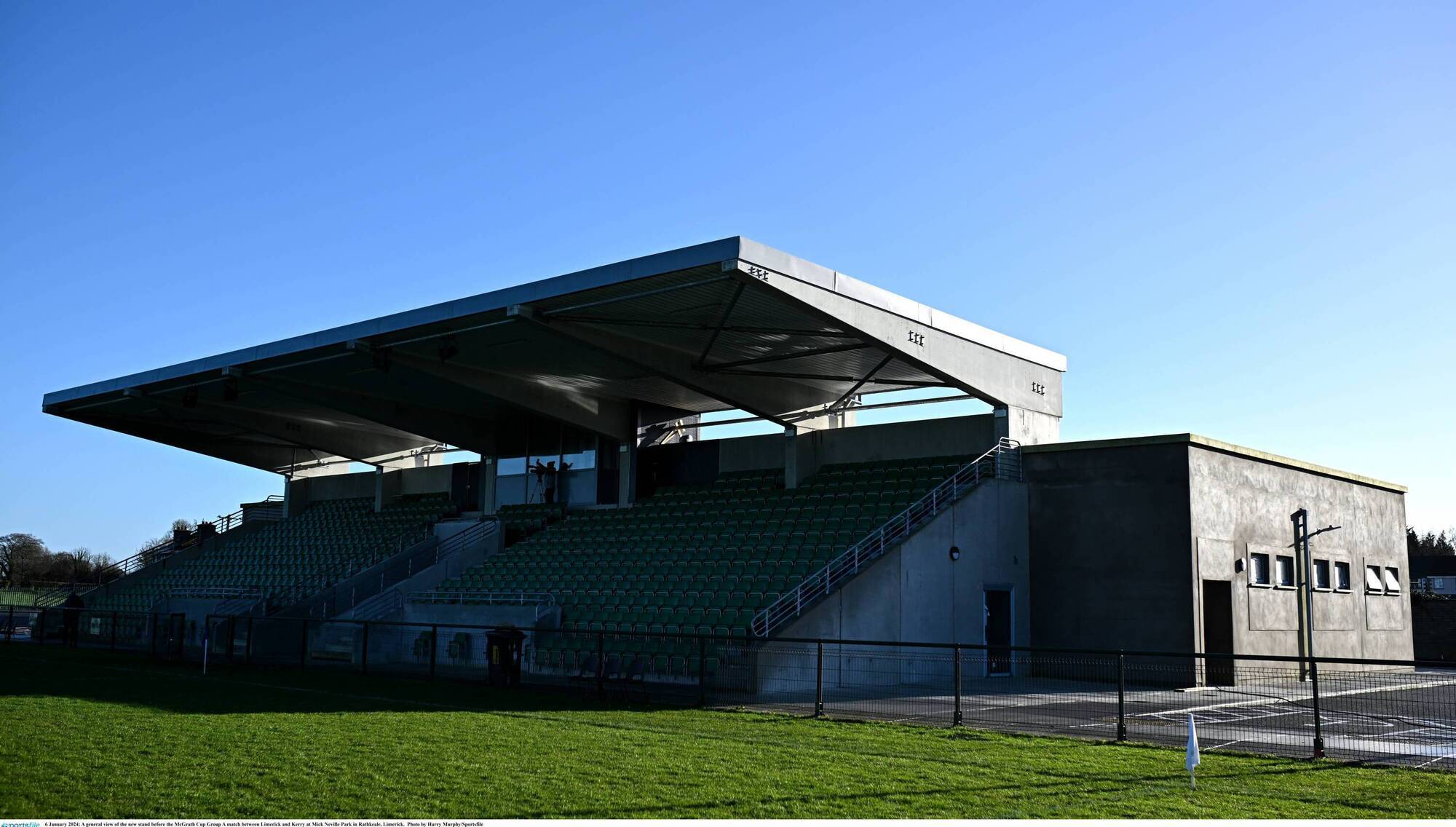 Enclosure in FoxfortEnclosure · 729 yd
 Bansha ForestForest · 1737 yd
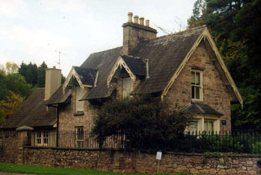 Kilshanegate lodge · 1.1 mi
 Bansha CastleCastle · 1.1 mi
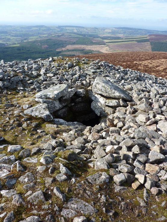 Site of Seefin CastleCastle, unclassified · 1.2 mi
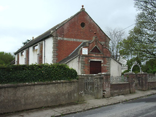 Bansha Public Hallhall · 1.2 mi
 The RockViewpoint · 2.8 mi
 European ashEuropean ash · 3.0 mi
 Christ the KingViewpoint · 3.2 mi
 Glen of AherlowViewpoint · 3.3 mi
 I.R.A. 3rd. Tipperary Brigade MemorialMemorial · 3.4 mi
Other information
Photo: Credit not shown in the picture search · Rights wording not checked; contact us if this picture should be removed