
What is recorded here
The official Northern Ireland record identifies this as ENCLOSURE: KNOWEHEAD. Recorded period: UNCERTAIN. The official map point was placed at the centre of the recorded archaeological site from the source map reference.
A local fairy fort (ringfort/rath); wider significance not recorded.
The monument record does not grant public access. Check the route and ask the landowner before entering private land.
- What survives
- Recorded monument
Places near here
.jpg?width=1280) Ballyclare Town HallTown Hall · 1333 yd
Ballyclare Town HallTown Hall · 1333 yd RATH? OR ENCLOSURE? (O.S. memoir site; unlocated) in Ballyclare (possible); Doagh (possible)RATH? OR ENCLOSURE? (O.S. memoir site; unlocated) · 1453 yd
_-_geograph.org.uk_-_5247773.jpg?width=1280) Ulster BankBank · 1497 yd
Ulster BankBank · 1497 yd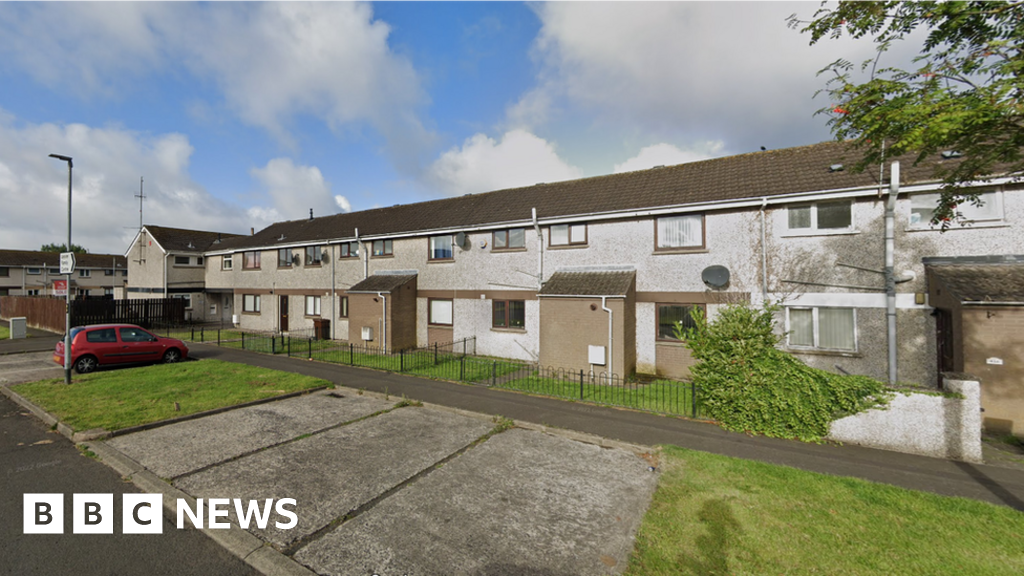 ENCLOSURE in RasheeENCLOSURE · 1606 yd
 FORTIFIED HOUSE: CASTLE HILL in DunamoyFORTIFIED HOUSE: CASTLE HILL · 1.6 mi
 Big CollinMountain / peak · 4.2 mi
 Ballyboley ForestForest · 4.5 mi
 C17th CASTLE on MONASTIC SITE : ORDER of ST. JOHN OF JERUSALEM, UPTON CASTLE, UPTON MAUSOLEUM, HUGH DE LOGAN'S TOWN in TemplepatrickC17th CASTLE on MONASTIC SITE : ORDER of ST. JOHN OF JERUSALEM, UPTON CASTLE, UPTON MAUSOLEUM, HUGH DE LOGAN'S TOWN · 4.5 mi
 Sentry Hill Historic HouseMuseum · 5.0 mi
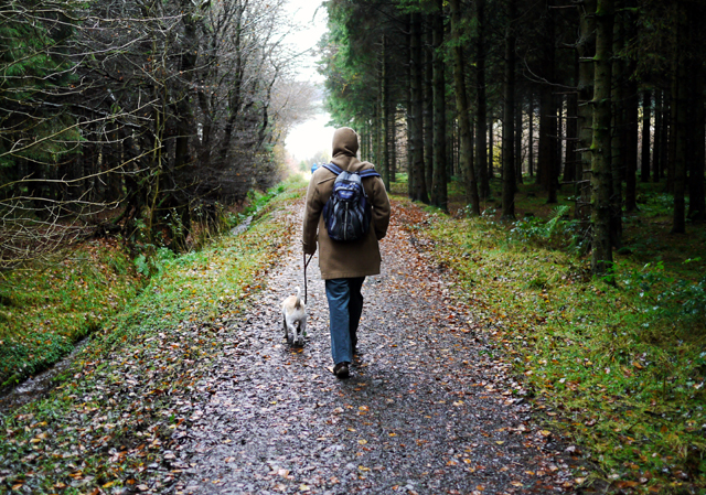 Woodburn ForestForest · 5.6 mi
 CarnearnyMountain / peak · 6.2 mi
 O'Haughan's CaveCave · 6.4 mi
Other information
Photo: Credit not shown in the picture search · Rights wording not checked; contact us if this picture should be removed