
What is recorded here
This monument was brought to the attention of ASI by the archaeologist Tony Miller on 25th June 2012. The following is his description of the monument: "A large D-shaped enclosure built against a small cliff face. It is a few hundred meters east of the hut site (CO090-036----) and situated in similar rough terrain.…
Read the whole record
From the National Monuments Service (Archaeological Survey of Ireland) record CO090-037
Places near here
Photo credits
- John M, Geograph · CC BY-SA 2.0
- Maker not stated on source page, www.alamy.com
- Maker not stated on source page, www.pinterest.com
- Keith Cunneen, Geograph · CC BY-SA 2.0
- Colin Park, Wikimedia Commons · CC BY-SA 2.0
- Maker not stated on source page, www.dreamstime.com
- Maker not stated on source page, www.flickr.com
- Maker not stated on source page, de.wikipedia.org
- Peter Craine, Wikimedia Commons · CC BY-SA 2.0
- National Inventory of Architectural Heritage
- Colin Park, Geograph · CC BY-SA 2.0
 Baurearagh MountainMountain / peak · 469 yd
Explorer Tom Baurearagh Mountain in County Kerry fooled the mapmakers into drawing it three kilometers away from where it actually…
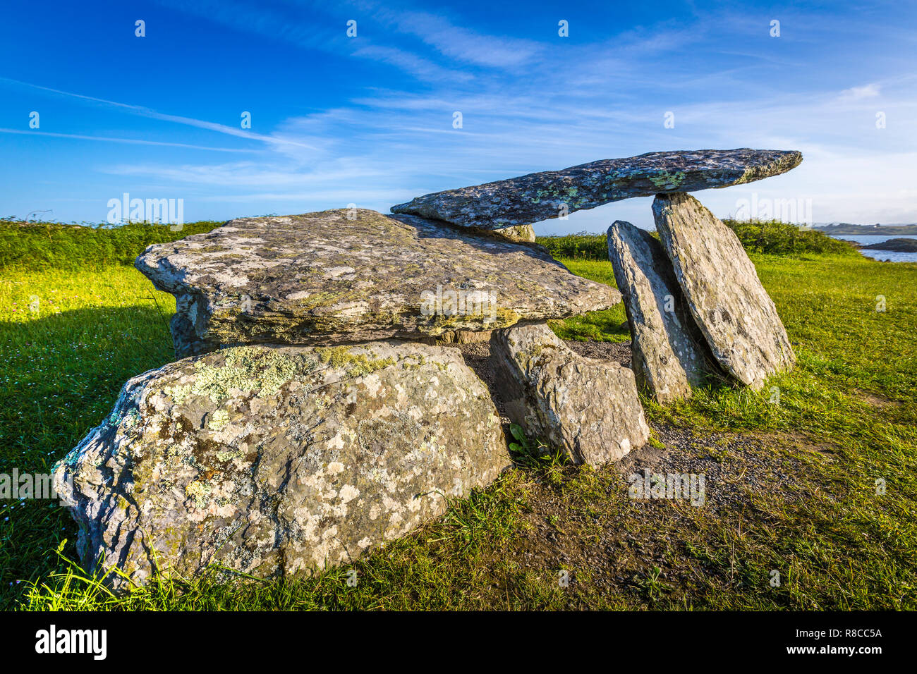 Wedge tomb in YoungfieldWedge tomb · 729 yd
Explorer Tom Wedge tomb in Youngfield has an unlikely celebrity friend who is a very large hawk that refuses to acknowledge it…
 Enclosure in Baurearagh (glanarought By., Banawn Ed)Enclosure · 1357 yd
Explorer Tom This Enclosure in Baurearagh has a big boulder corner that looks like it’s judging your life choices. It’s at the base…
 Killane Mountain South-West TopMountain / peak · 1.2 mi
Explorer Tom Killane Mountain South-West Top has very strong opinions on modern building codes and hates that nobody respects its…
 CahaMountain / peak · 2.0 mi
Explorer Tom Caha in County Kerry refuses to fall down because it thinks gravity is being personal about its waistline. It stands…
 Enclosure in Crossterry WestEnclosure · 2.1 mi
Explorer Tom Enclosure in Crossterry West sits right by Barley Lake and uses a bedrock ridge as its straight side, which is clever…
 Bridge in MaulagownaBridge · 2.1 mi
Explorer Tom Bridge in Maulagowna thinks the road leading to it is a total rip-off and probably charges tolls in pebbles. It’s just…
 Wedge tomb in MaulagownaWedge tomb · 2.4 mi
Explorer Tom Wedge tomb in Maulagowna would tell you it saw things after three pints that you wouldn’t believe. It’s got a sloping…
 Glengarriff WoodsWood · 2.7 mi
Explorer Tom Glengarriff Woods has old oaks that survived a spell when people thought the answer to every forestry question was…
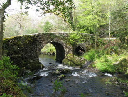 Glengarriff Nature ReserveBridge · 2.9 mi
Explorer Tom Glengarriff Nature Reserve bridge is picturesque and full of local craftsmanship, featuring a second smaller arch that…
 Sugarloaf MountainMountain / peak · 4.5 mi
Explorer Tom Sugarloaf Mountain above Glengarriff is Cork's answer to anyone who thinks a mountain should come with a neat little…
 Sugarloaf Mountain West TopMountain / peak · 4.5 mi
Explorer Tom Sugarloaf West Top introduces itself to strangers by listing its elevation like it’s a celebrity naming its…
More archaeology and monuments in County Cork · All of County Cork

What do you know about this place?Tap to add a comment or ask a question