
What is recorded here
A roughly circular enclosure (diam. c. 25m) showing as cropmark on aerial photographs (CUCAP BGN097, 19 July 1971; GB89.Z.12). It is not visible at ground level.
Compiled by: Jean Farrelly
Date of upload: 29 May 2019
The monument record does not grant public access. Check the route and ask the landowner before entering private land.
- What survives
- Recorded monument
Places near here
 Woodsgift Housegates/railings/walls · 409 yd
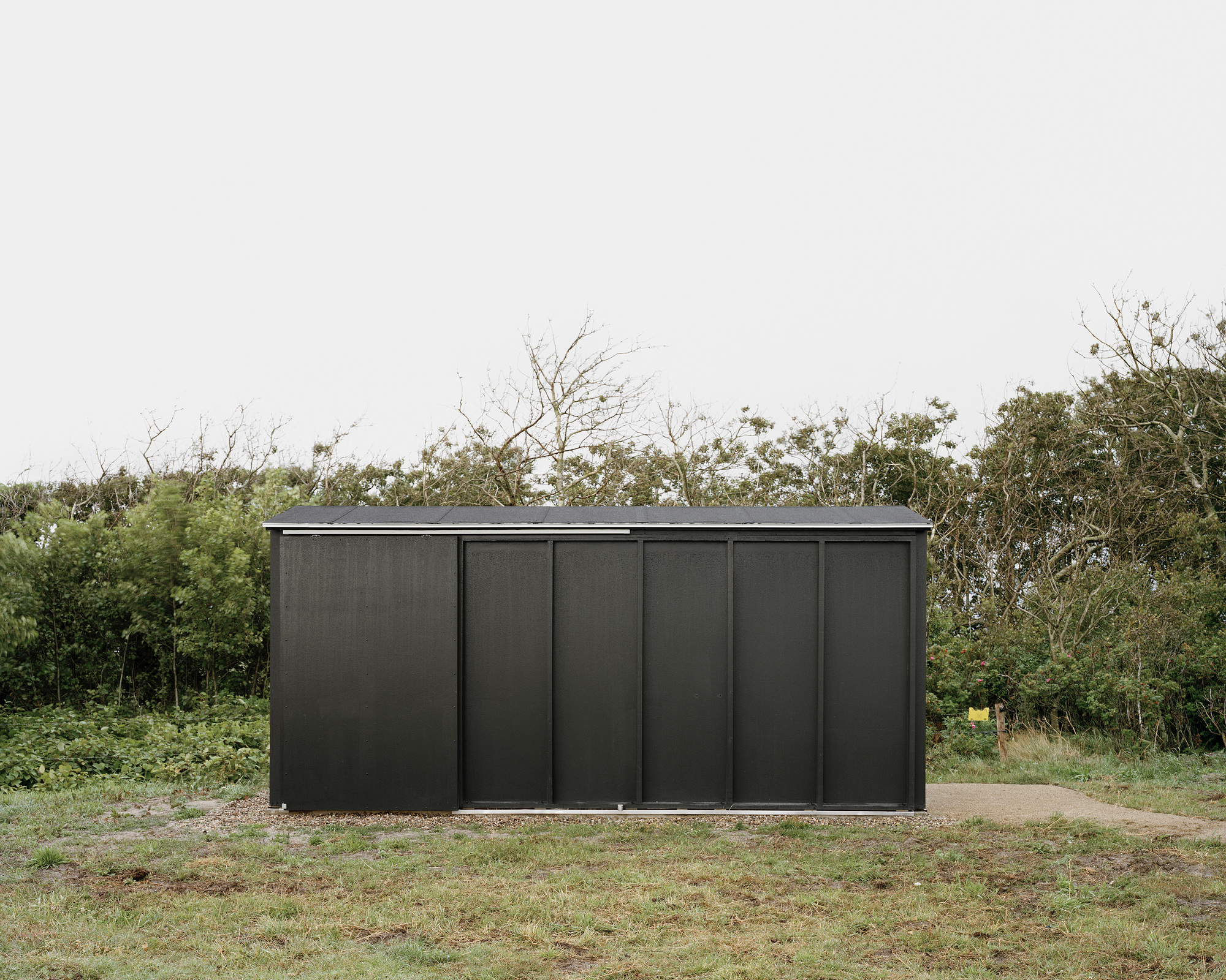 Enclosure in WoodsgiftEnclosure · 449 yd
 Church in WoodsgiftChurch · 898 yd
 Enclosure in Clomantagh UpperEnclosure · 1089 yd
 CastleCastle, tower house · 1311 yd
 Tubbrid Castle (in ruins)Castle, tower house · 1.4 mi
 Kildrinagh WoodForest · 1.7 mi
 Clomantagh HillMountain / peak · 1.8 mi
 John HelyMemorial · 2.9 mi
 DelaneyMemorial · 3.0 mi
 Deerpark WoodWood · 3.8 mi
 Anker's IslandIsland · 9.4 mi
Other information
Photo: Credit not shown in the picture search · Rights wording not checked; contact us if this picture should be removed