
What is recorded here
A rectangular enclosure (dims. c. 30-35m N-S; 25-30m E-W) visible as a cropmark on aerial photographs (ASIAP (23) 32-5, 2 August 1996). The northern portion of the monument is truncated by a field boundary running roughly E-W. There is a possible entrance mid-way along the fosse on the S side.
See attached photograph:
KK012-099----_01 ASIAP (23) 34, 2 August 1996
Compiled by: Jean Farrelly
Date of upload: 31 August 2015
The monument record does not grant public access. Check the route and ask the landowner before entering private land.
- What survives
- Recorded monument
Places near here
 Clomantagh Upper Ringfort (rath)Archaeological place · 311 yd
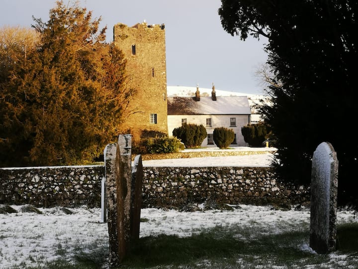 Enclosure in Clomantagh (mountgarret)Enclosure · 778 yd
 Woodsgift Housegates/railings/walls · 870 yd
 CastleCastle, tower house · 1412 yd
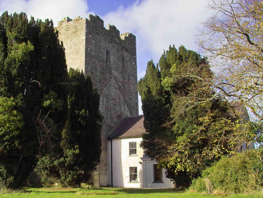 farm housefarm house · 1443 yd
 Clomantagh HillMountain / peak · 1.2 mi
 Tubbrid Castle (in ruins)Castle, tower house · 1.3 mi
 Kildrinagh WoodForest · 2.1 mi
 John HelyMemorial · 2.7 mi
 DelaneyMemorial · 2.8 mi
 Deerpark WoodWood · 4.4 mi
 Anker's IslandIsland · 8.8 mi
Other information
Photo: Credit not shown in the picture search · Rights wording not checked; contact us if this picture should be removed