What is recorded here
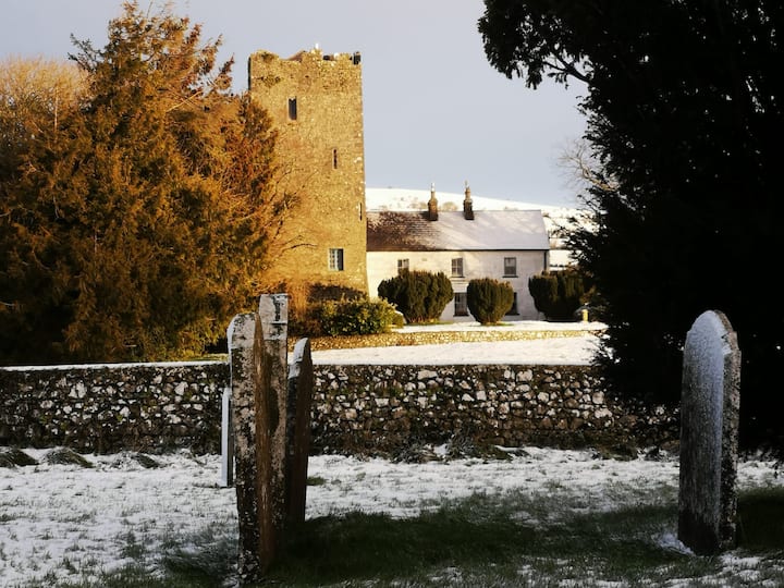
This record was listed as 'Enclosure' in the SMR (1987). On the 1st (1839) ed. OS 6-inch map it is indicated as a hachured roughly circular enclosure (diam. c. 39m). The revised 1900 ed. only shows the curving W side, with hachures facing inward indicating a depression and rock outcrop is indicated within the area of the enclosure. On field inspection in 1987 this was found to be a quarry, however, its depiction on the 1st ed. map and the fact that the W curve of the enclosure was retained, suggests that this may have been a ringfort but that it was completely quarried out. Satellite imagery (Digitalglobe viewed 28 May 2019) suggests that the quarry has since been infilled and is now under grass.
Compiled by: Jean Farrelly
Date of revised upload: 28 May 2019
The monument record does not grant public access. Check the route and ask the landowner before entering private land.
- What survives
- Recorded monument
Places near here
 Enclosure in Balief UpperEnclosure · 770 yd
 Enclosure in Clomantagh UpperEnclosure · 778 yd
 rectory/glebe/vicarage/curate's houserectory/glebe/vicarage/curate's house · 1195 yd
 CastleCastle, tower house · 1334 yd
 Clomantagh HillMountain / peak · 1422 yd
 Woodsgift Housegates/railings/walls · 1592 yd
 Tubbrid Castle (in ruins)Castle, tower house · 1.7 mi
 John HelyMemorial · 2.3 mi
 DelaneyMemorial · 2.5 mi
 Kildrinagh WoodForest · 2.5 mi
 Street fieldArchaeological place · 4.1 mi
 Anker's IslandIsland · 8.6 mi
Other information
Photo: Credit not shown in the picture search · Rights wording not checked; contact us if this picture should be removed