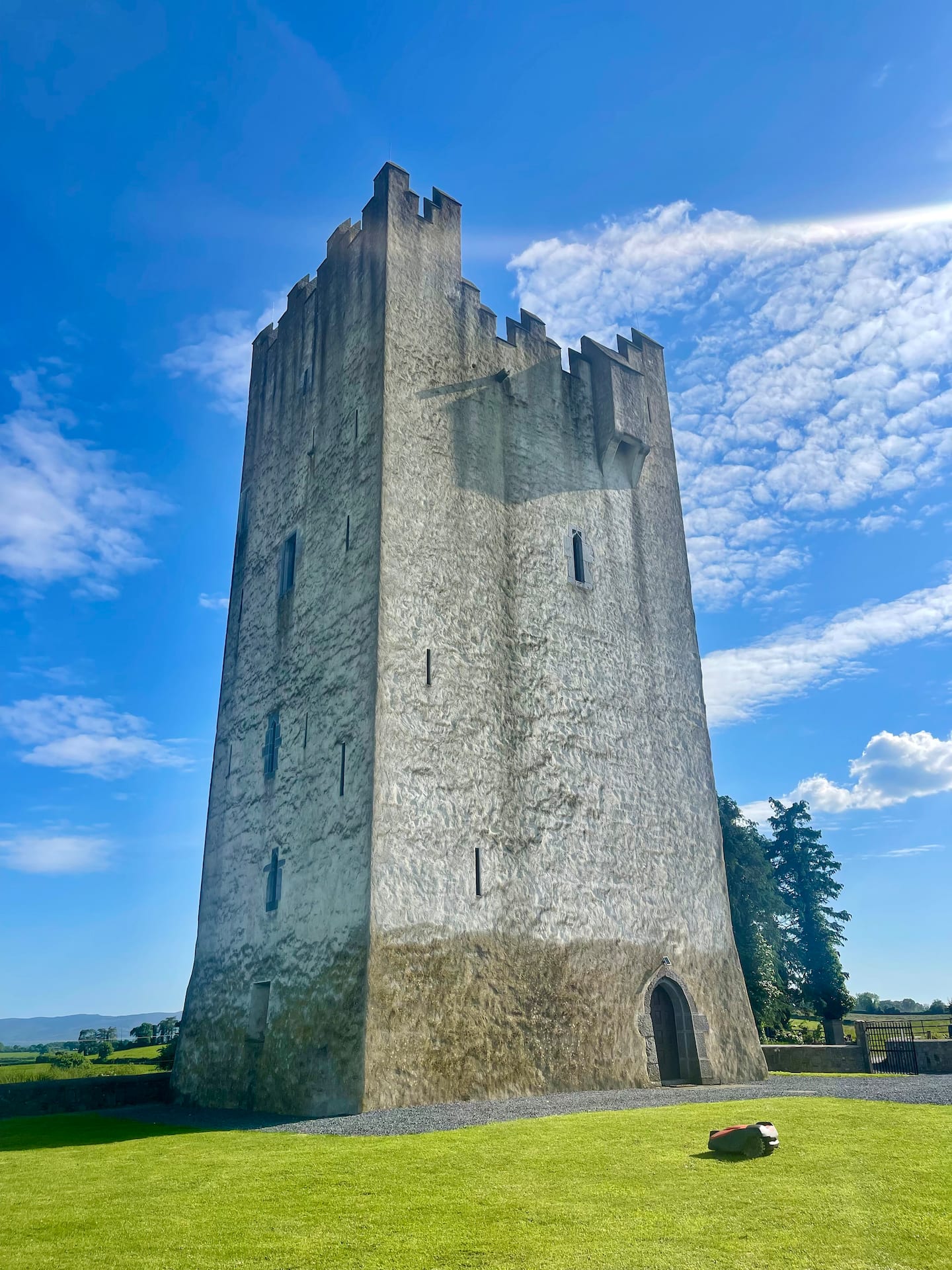
What is recorded here
A possible rectilinear enclosure with slightly rounded corners (dims. c. 30m) is visible as a cropmark on aerial photograph (CUCAP BGN093, 19 July 1971). The N side is quite faint and may not be a fosse. The W side appears to extend northward beyond the possible enclosure. It may be that these cropmarks are of old field boundaries and other natural features which are giving the appearance of an enclosure. It is not visible at ground level.
See attached photograph:
KK012-025005-_01 CUCAP BGN093, 19 July 1971
Compiled by: Jean Farrelly
Date of upload: 29 May 2019
The monument record does not grant public access. Check the route and ask the landowner before entering private land.
- What survives
- Recorded monument
Places near here
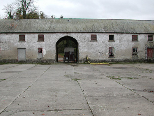 Woodsgift Housefarmyard complex · 489 yd
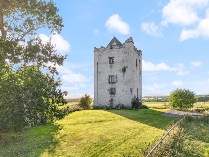 Enclosure in WoodsgiftEnclosure · 536 yd
 Church in WoodsgiftChurch · 646 yd
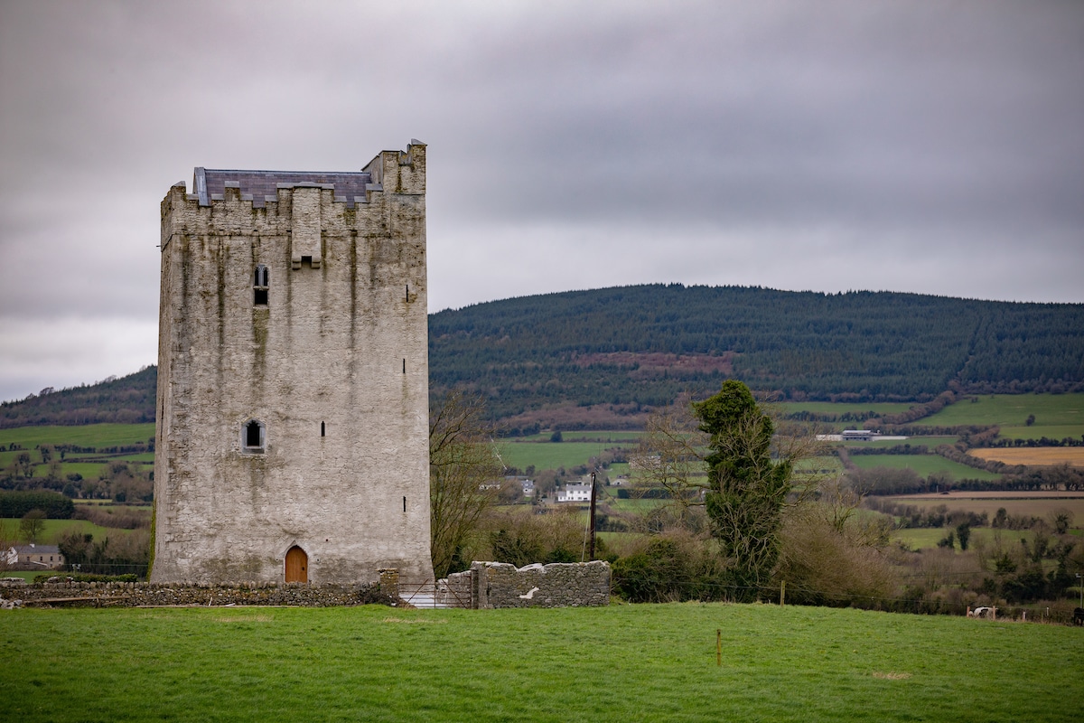 Enclosure in Tubbrid LowerEnclosure · 1064 yd
 CastleCastle, tower house · 1.0 mi
 Tubbrid Castle (in ruins)Castle, tower house · 1.4 mi
 Kildrinagh WoodForest · 1.4 mi
 Clomantagh HillMountain / peak · 2.1 mi
 John HelyMemorial · 3.2 mi
 DelaneyMemorial · 3.3 mi
 Deerpark WoodWood · 3.5 mi
 Bregaun HillMountain / peak · 5.4 mi
Other information
Photo: Credit not shown in the picture search · Rights wording not checked; contact us if this picture should be removed