What is recorded here
Located on a ridge under a crop of corn SE of the Delvin river. An aerial photograph taken in 1972 (FSI4.536/7) shows cropmarks of an enclosure (diam. c. 40m) and possible field systems radiating from the N quadrant. Not visible at ground level.
Compiled by: Geraldine Stout
Updated by: Christine Baker
Date of upload: 29 October 2014
The monument record does not grant public access. Check the route and ask the landowner before entering private land.
- What survives
- Recorded monument
Places near here
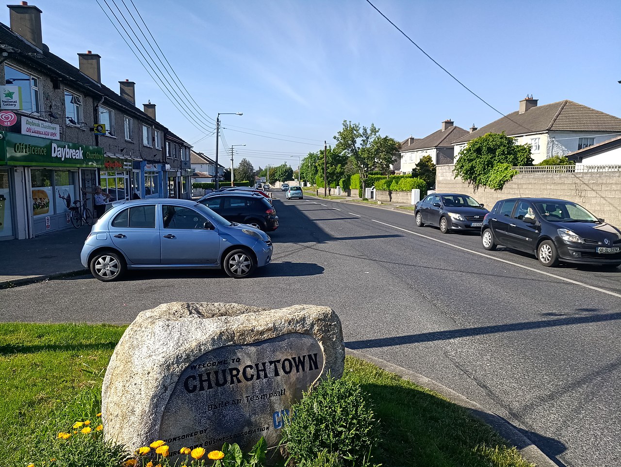 IndicatedKiln, lime · 146 yd
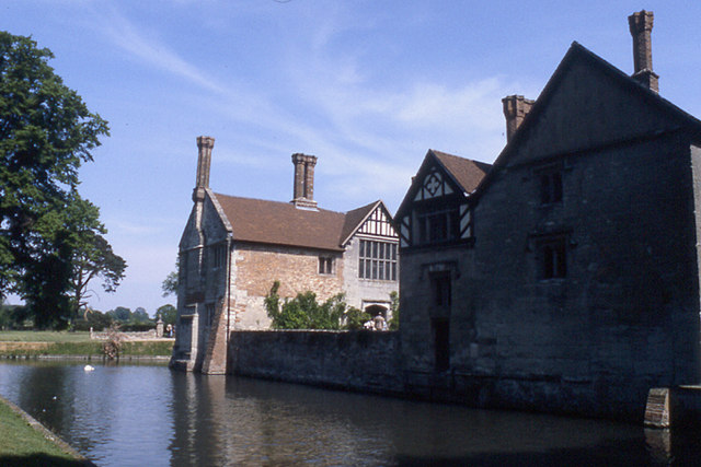 MoatBarrow, stepped barrow · 357 yd
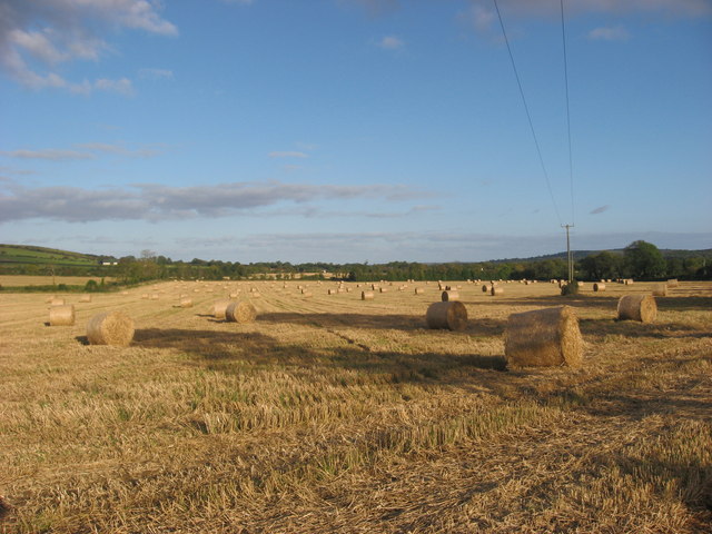 Enclosure in NaulEnclosure · 792 yd
 Westown HouseCastle, tower house · 1022 yd
 Naul Park HouseCastle, unclassified · 1330 yd
 Catholic Church of the Nativity of Our Ladychurch/chapel · 1414 yd
 Seamus Ennis Cultural CentreMemorial · 1543 yd
 Naul HillMountain / peak · 1551 yd
 Bun-na-CnoicMemorial · 1706 yd
 FourknocksPassage tomb · 1.5 mi
 Tullog WoodForest · 1.8 mi
 KnockbrackMountain / peak · 2.2 mi