What is recorded here
Situated on a slight rise in gently undulating pasture. Depicted as a hachured circular enclosure on the 1836-7 and 1940-1 edition of the OS 6'' map. The site has been partially quarried out and is now a roughly circular irregular overgrown mound (Base diam c.18m; max. H 1.5m). The site is too damaged to classify accurately.
Compiled by: Patrick F. O'Donovan
Date of upload: 21 April 2011
The monument record does not grant public access. Check the route and ask the landowner before entering private land.
- What survives
- Recorded monument
Places near here
 Urlar Househouse · 398 yd
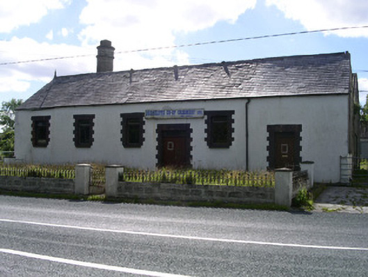 Drumcliffe Co-Operative Creamerycreamery · 491 yd
 Tober PatrickArchaeological place · 593 yd
 Floods WoodForest · 943 yd
 Enclosure in GortaroweyEnclosure · 1191 yd
 Castle (in Ruins)Castle, unclassified · 1248 yd
 CastleCastle, unclassified · 1.0 mi
 Grave of WB YeatsHeritage attraction · 1.3 mi
 Paddy McGowan's WoodWood · 1.3 mi
 Drumcliff CemeteryGraveyard · 1.3 mi
 Finned PointHeadland · 1.8 mi
 BenbulbinMountain / peak · 2.1 mi