What is recorded here
In tillage. A curvilinear enclosure defined by a fosse (Wth 1.3-1.6m), identified by geophysical survey (Murphy 2024; 24R0390) and subsequently confirmed by test trenching (Gallagher 2025, C10/C11, 24E0801). It is located immediately N of, and appears to adjoining, a larger bivallate enclosure (WA017-054----).
Compiled by: Jean Farrelly
The monument record does not grant public access. Check the route and ask the landowner before entering private land.
- What survives
- Recorded monument
Places near here
 Burnt mound in CarriglongBurnt mound · 206 yd
 IndicatedFairy fort / ringfort · 292 yd
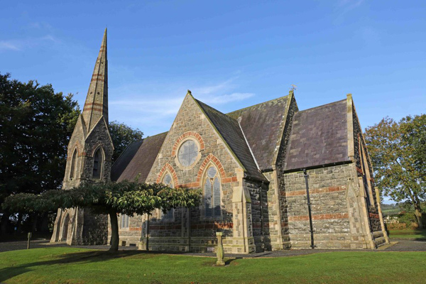 St, Brigets Church (in ruins)Church · 1429 yd
 Perry's BridgeOfficially recorded historic building · 1586 yd
 Cullen Castle (in ruins)Castle, tower house · 1.2 mi
 Sugar Loaf RockMountain / peak · 1.5 mi
 Tourist InformationVisitor information · 2.4 mi
 Tramore Dunes WalkWalking route · 2.5 mi
 Cannon GunBattlefield · 2.7 mi
 Doneraile WalkWalking route · 2.7 mi
 Mote or TumulusCastle, motte · 3.1 mi