
What is recorded here
In tillage. A sub-rectangular enclosure (dims. c. 38m NW-SE; c. 26m NE-SW) defined by a cropmark is visible on Google Earth (imagery date 14 July 2018), identified and reported by Simon Dowling. The fosse defining the enclosure is curving at the corners and the SE angle is defined more by a curving arc than an angle.
See attached:
CW017-070----_01 Google Earth image (imagery date 14 July 2018)
CW017-070----_02 Google Earth image (imagery date 14 July 2018) with enclosure highlighted
Compiled by: Jean Farrelly
Date of upload: 25 February 2020
The monument record does not grant public access. Check the route and ask the landowner before entering private land.
- What survives
- Recorded monument
Places near here
 English hollyEnglish holly · 1533 yd
 Enclosure in LisgarvanEnclosure · 1.3 mi
 Enclosure in SraghEnclosure · 1.3 mi
 Barragh Church (in ruins), GraveyardChurch · 1.8 mi
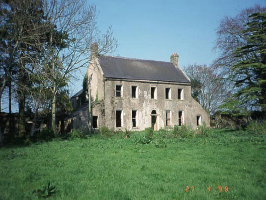 Ballinvally Housefarm house · 1.8 mi
 Adelaide Memorial Church of Christ the Redeemerchurch/chapel · 1.8 mi
 Monkey-puzzleMonkey-puzzle · 2.0 mi
 Altamont Gardens MapVisitor information · 2.5 mi
 Altamont House and GardensHeritage attraction · 2.6 mi
 CroaghaunMountain / peak · 3.1 mi
 Castlegrace MoatCastle, motte · 3.3 mi
 GreenogeMountain / peak · 3.7 mi
Other information
Photo: Credit not shown in the picture search · Rights wording not checked; contact us if this picture should be removed