What is recorded here
Centrally placed within Rathcoran Hillfort (WI027-026001-). A circular enclosure (diam. c. 14m) visible on Google Earth aerial photograph (Accessed: 24 October 2012; Imagery date 16 April 2003) and on a Bing aerial photograph (Accessed: 24 October 2012; Imagery date uncertain).
Compiled by: Mary Tunney
Date of upload: 24 October 2012
The monument record does not grant public access. Check the route and ask the landowner before entering private land.
- What survives
- Recorded monument
Places near here
 Rahcoran FortArchaeological place · 10 yd
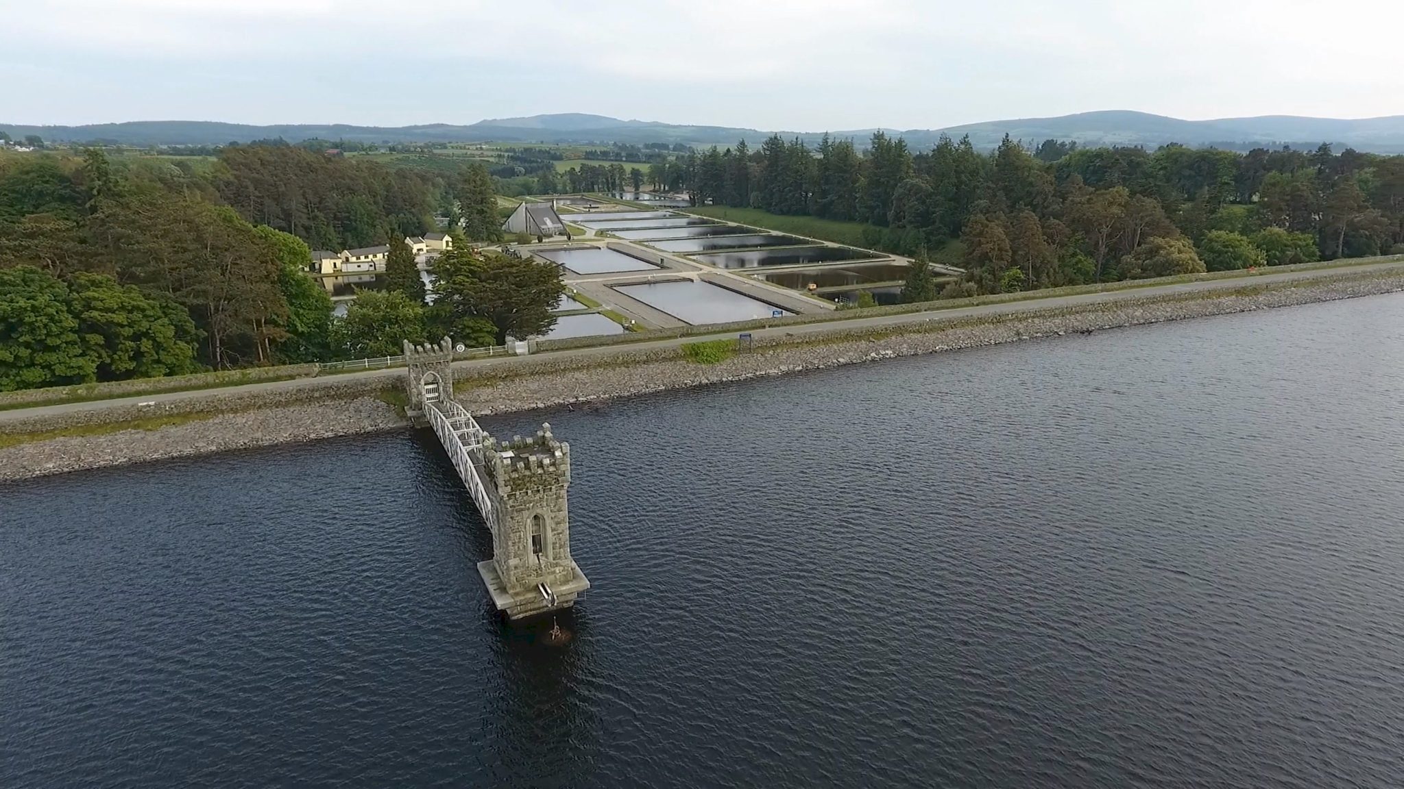 Rathcoran, CaveHillfort · 38 yd
 Baltinglass Catholic Chapelchurch/chapel · 1582 yd
 Church (in Ruins), Grave Yard (Disused)Church · 1583 yd
 CastleCastle, tower house · 1.1 mi
 MoatamoyCastle, motte · 1.3 mi
 Tinoran HillMountain / peak · 2.2 mi
 Sam McAllistair GraveMemorial · 2.2 mi
 Saint Brigit's Mass StoneNamed rock · 2.2 mi
 Saint Brigit's ChairNamed rock · 2.4 mi
 Rahill Church (in ruins), GraveyardChurch · 2.8 mi
 Ballyhook HillMountain / peak · 3.2 mi