What is recorded here
On the SW side of small hills overlooking a valley to the SW, in rolling reclaimed arable and cultivated pasture. There are good views in all directions. A circular enclosure (diam. c. 20m) indicated on the 1st (1839) ed. OS 6-inch map but not on the subsequent 1900 revision which suggests it was levelled between 1839 and 1900. There are a number of enclosures (KK012-030----; KK012-031----; KK012-032----; KK012-033----) nearby c. 40m to the E, c. 160m to the NE, c. 140m to the E and c. 250m to the SE respectively, which are also indicated on the 1st ed. OS 6-inch map, but all have since been levelled. The enclosures are not visible at ground level.
Compiled by: Jean Farrelly
Date of upload: 11 June 2019
The monument record does not grant public access. Check the route and ask the landowner before entering private land.
- What survives
- Recorded monument
Places near here
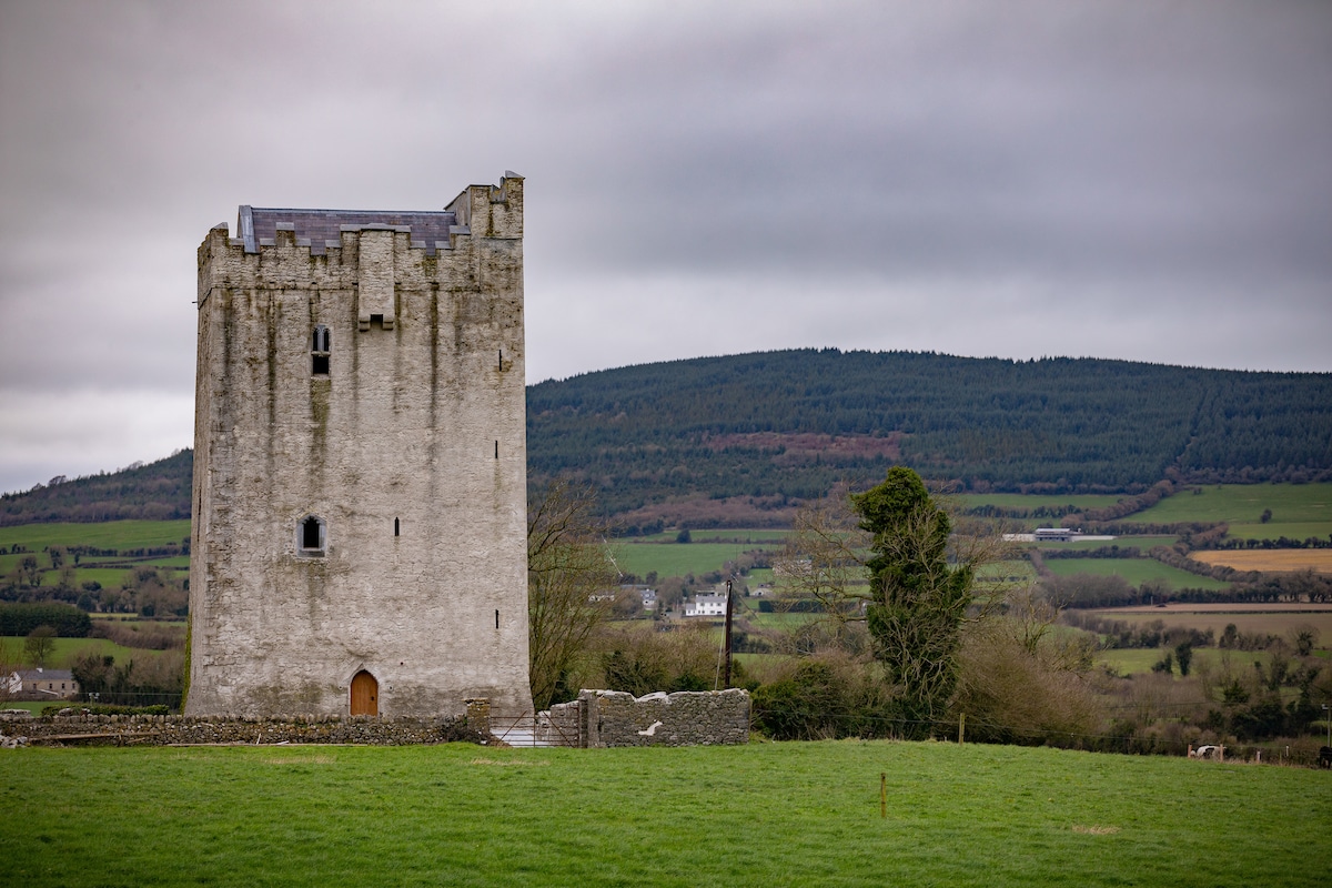 Enclosure in Tubbrid LowerEnclosure · 296 yd
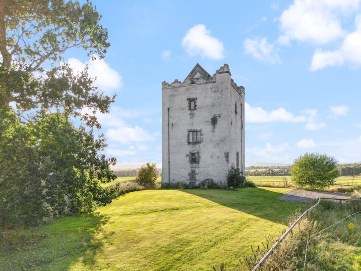 Enclosure in WoodsgiftEnclosure · 454 yd
 CastleCastle, ringwork · 1094 yd
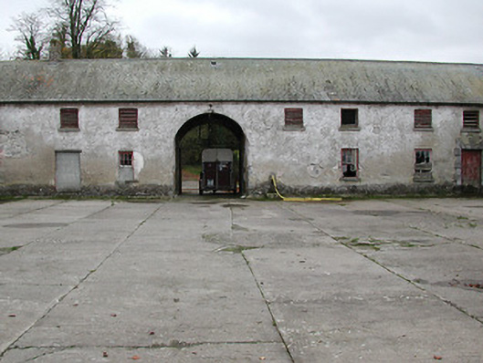 Woodsgift Housefarmyard complex · 1258 yd
 Church in WoodsgiftChurch · 1385 yd
 Tubbrid Castle (in ruins)Castle, tower house · 1710 yd
 Kildrinagh WoodForest · 1.1 mi
 Clomantagh HillMountain / peak · 2.2 mi
 John HelyMemorial · 3.5 mi
 Deerpark WoodWood · 3.5 mi
 DelaneyMemorial · 3.7 mi
 Bregaun HillMountain / peak · 5.5 mi