What is recorded here
Geophysical survey (Licence no. 06R0135) undertaken in advance of a proposed residential development, identified strong linear and curvilinear features which were interpreted as a network of ditches or structural remains. Test-excavation (Licence no. 06E0996) confirmed the presence of an enclosure ditch, evidence of in situ burning and extensive archaeological activity interpreted as probable multi-phase occupation (Turrell 2006, 28).
Compiled by: Christine Baker
Date of upload: 2 February 2015
The monument record does not grant public access. Check the route and ask the landowner before entering private land.
- What survives
- Recorded monument
Places near here
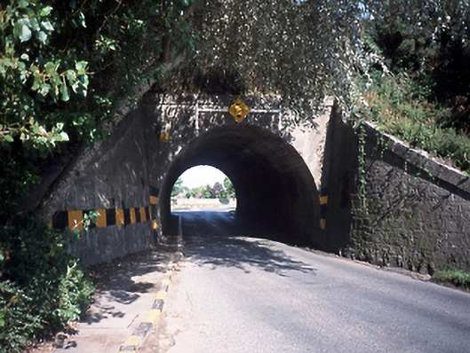 bridgebridge · 148 yd
 Skerries Railway Stationrailway station · 255 yd
 Burnt mound in Townparks (balrothery East By.)Burnt mound · 367 yd
 Windmill (in ruins)Windmill · 474 yd
 Skerries RockMemorial · 1236 yd
 Skerries Harbour and BeachVisitor information · 1466 yd
 Skerries BeachVisitor information · 1468 yd
 Percy FrenchMemorial · 1.1 mi
 Castle (in ruins)Castle, Anglo-Norman masonry castle · 1.4 mi
 Shenick IslandIslet · 1.4 mi
 Colt IslandIslet · 1.5 mi
 Black Hill NurseryWood · 1.9 mi