What is recorded here
On a gentle ENE-facing slope, in improved pasture, overlooking a gently undulating landscape. Depicted on the 1841 edition OS 6-inch map as an oval area (c. 38m N-S; c. 33m E-W) which is truncated by a field boundary (long-axis NE-SW) across the SE sector. Not visible at ground level. A slightly raised area exists to NW and SE of the field boundary. A field gate is located in the field boundary abutting to NE and SW of the monument.
Compiled by: Mary Tunney
Date of upload: 24 January 2018
The monument record does not grant public access. Check the route and ask the landowner before entering private land.
- What survives
- Recorded monument
Places near here
 Enclosure in CaherloghanEnclosure · 614 yd
 Toberlanniv Holy WellHoly well · 1038 yd
 Shankill Church (in ruins)Church · 1254 yd
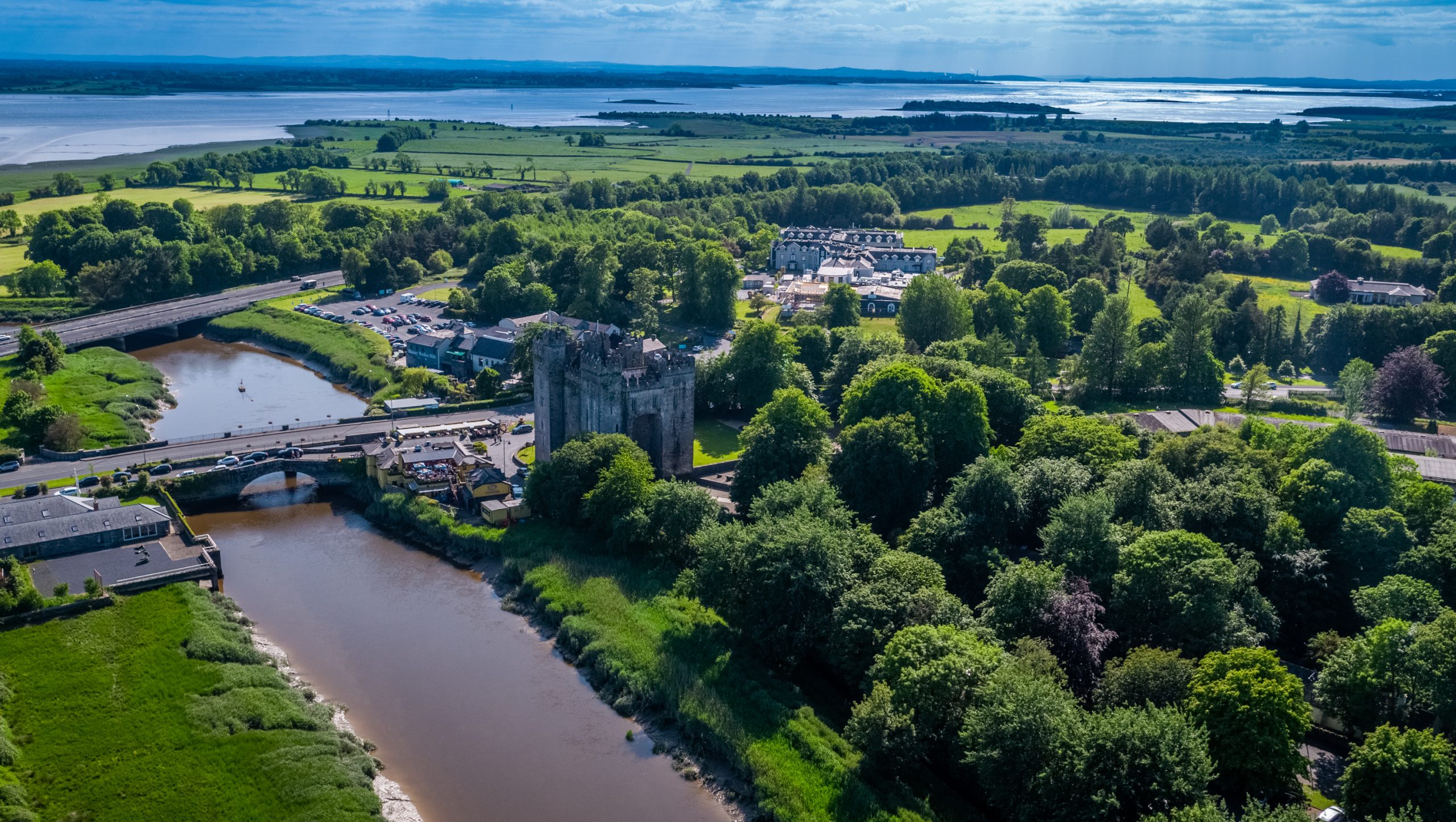 Toonagh Castle (Site of)Castle, unclassified · 1308 yd
 Toonagh Househouse · 1430 yd
 Dangan Castle (in ruins)Castle, hall-house · 1517 yd
 Cloghleagh RockNamed rock · 1.2 mi
 The RingfortHeritage attraction · 2.2 mi
 CraggaunowenNationally known place · 2.3 mi
 Kilcatherine GraveyardWood · 4.2 mi
 Derrymore WoodWood · 4.9 mi
 Mass RockMemorial · 6.5 mi