What is recorded here
The official Northern Ireland record identifies this as ENCLOSURE. Recorded period: UNCERTAIN. The official map point was placed at the centre of the recorded archaeological site from the source map reference.
The monument record does not grant public access. Check the route and ask the landowner before entering private land.
- What survives
- Recorded monument
Places near here
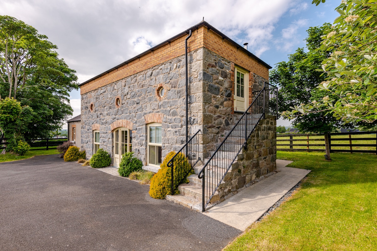 ENCLOSURE (destroyed) in CarnacavillENCLOSURE (destroyed) · 230 yd
 CROSS-CARVED STONE in CarnacavillCROSS-CARVED STONE · 234 yd
 Manor HouseHouse · 607 yd
 Wild Forest LaneWalking route · 1119 yd
 MAGHERA CHURCH AND ROUND TOWER in CarnacavillMAGHERA CHURCH AND ROUND TOWER · 1306 yd
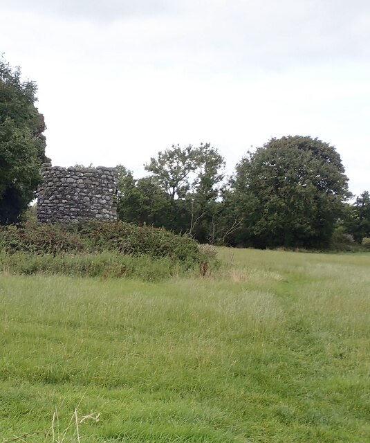 Maghera Church & Round TowerVisitor information · 1332 yd
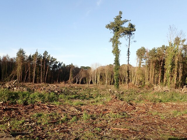 Tipperary WoodsForest · 1497 yd
 Newcastle Heritage Trail - Old Railway StationVisitor information · 1659 yd
 Tollymore Forest Park EntranceNature reserve · 1689 yd
 Beach AvenueWalking route · 1.1 mi
 CASTLE (destroyed) in Murlough UpperCASTLE (destroyed) · 1.2 mi
 CurraghardMountain / peak · 1.6 mi