What is recorded here
Aerial photo (GSI N 546/545) indicates two rectangular shaped and one circular enclosure. N rectangular enclosure (OF011-019----) not to be seen at surface level, SE one appears as a slightly raised rectangular area but is unlikely to be of archaeological interest. The circular site is a slight mound (diam c. 20m, max H 0.75m). May possibly be a barrow or merely a natural feature since it is not well defined.
Compiled by: Caimin O'Brien.
Date of upload: 23 May 2011
The monument record does not grant public access. Check the route and ask the landowner before entering private land.
- What survives
- Recorded monument
Places near here
 Enclosure in ToberdalyEnclosure · 104 yd
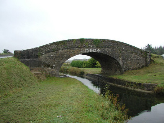 Toberdaly Bridgebridge · 446 yd
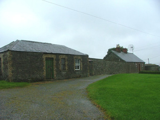 Toberdaly Houseworker's house · 770 yd
 OutlinedBawn · 866 yd
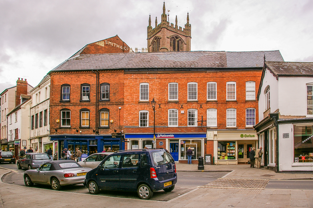 Bull RingEnclosure · 1047 yd
 Victoria PlantationWood · 1193 yd
 Holy PlantationForest · 1511 yd
 Site of Lady Mary Warrens CastleCastle, unclassified · 1575 yd
 Clonin EarthworksMountain / peak · 1.6 mi
 Croghan Hill WalkVisitor information · 2.7 mi
 Croghan HillMountain / peak · 2.8 mi
 Finnrenashark Holy WellSpring · 2.8 mi