What is recorded here
Aerial photo (GSI N 546/545) shows remains of possible enclosure. Not visible at ground level. Its close proximity to tree-rings associated with Toberdaly House may suggest that this feature was a landscape feature associated with Toberdaly House.
The above description is derived from the published 'Archaeological Inventory of County Offaly' (Dublin: Stationery Office, 1997). In certain instances the entries have been revised and updated in the light of recent research.
Date of upload: 23 May 2011
The monument record does not grant public access. Check the route and ask the landowner before entering private land.
- What survives
- Recorded monument
Places near here
 OutlinedBawn · 316 yd
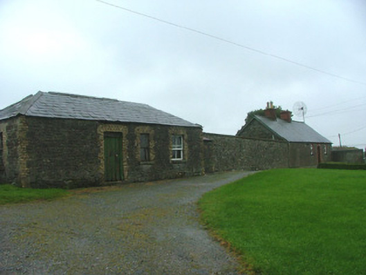 Toberdaly Houseworker's house · 391 yd
 Victoria PlantationWood · 517 yd
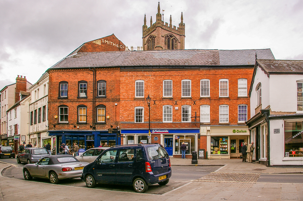 Bull RingEnclosure · 594 yd
 Enclosure in ToberdalyEnclosure · 659 yd
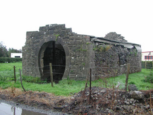 forge/smithyforge/smithy · 757 yd
 Holy PlantationForest · 776 yd
 Site of Lady Mary Warrens CastleCastle, unclassified · 1403 yd
 Clonin EarthworksMountain / peak · 1.2 mi
 Croghan Hill WalkVisitor information · 2.7 mi
 Croghan HillMountain / peak · 2.7 mi
 Finnrenashark Holy WellSpring · 2.8 mi