What is recorded here
This small circular enclosure is marked bn the 1914 OS map and is 14m in diameter. It consists of a circular area which is enclosed by an earthen bank. The enclosing bank has been levelled N to E and only appears as a slight rise above the surrounding land; elsewhere, it is c 3m wide and rises to .8m externally and .5m internally. A modern ditch has been dug from the E to S to W. The interior is at a higher level than the surrounding land and is now cultivated as a vegetable garden. This enclosure was possibly an animal pen.
The above description is derived from C. Toal, ‘North Kerry Archaeological Survey’. Dingle. Brandon in association with FAS Training and Employment Authority (1995), no. 1025. In certain instances the entries have been revised and updated in the light of recent research.
Date of upload: 3 August 2013
The monument record does not grant public access. Check the route and ask the landowner before entering private land.
- What survives
- Recorded monument
Places near here
 TobertehHoly well · 282 yd
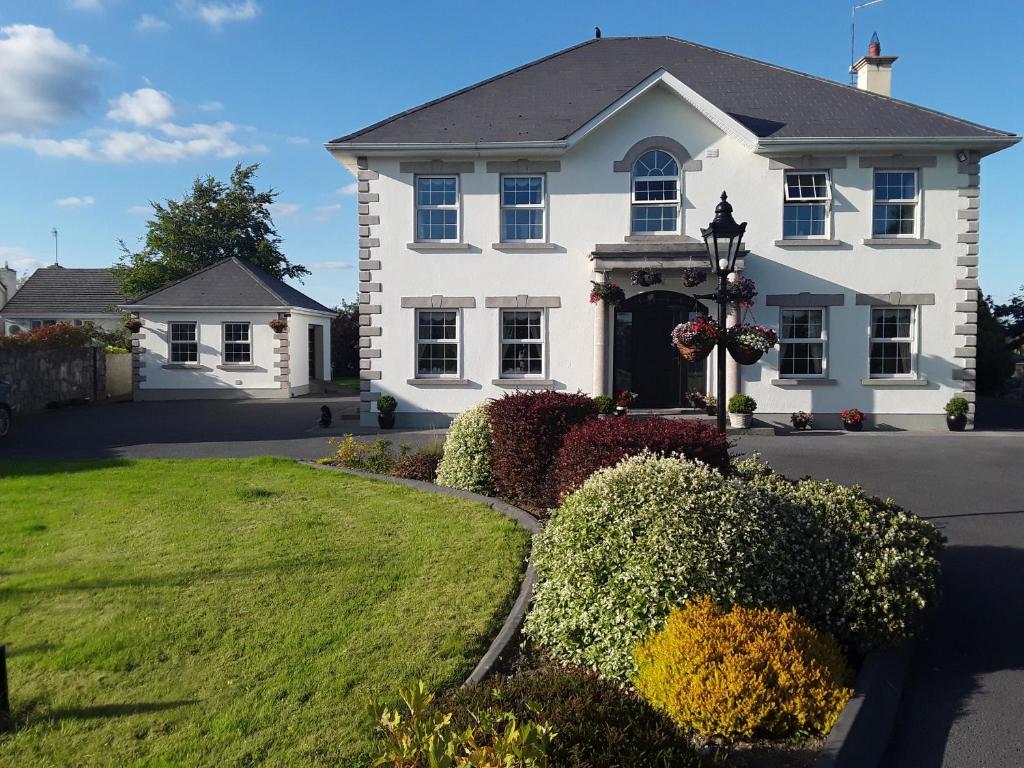 Enclosure in Doonard UpperEnclosure · 1125 yd
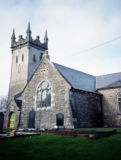 Saint Brendan's Church (Kilnaughtin)church/chapel · 1230 yd
 Ballydonohoe Househouse · 1243 yd
 Tarmon Castle (in ruins)Castle, unclassified · 1653 yd
 Tarbet BayBay · 1.2 mi
 Glin CastleCastle · 2.8 mi
 Clonderalaw BayBay · 4.5 mi
 Mountshannon WoodWood · 4.7 mi
 St Senan's WellSpring · 5.3 mi
 Siege of Carrigafoyle Castlesiege · 5.6 mi
 Carrig IslandIsland · 5.8 mi