
What is recorded here
Located in a relatively flat location (c. 85m OD) in a gently undulating landscape characterised by tillage and pastoral farming. Located towards the W boundary of a large field currently in use for tillage purposes (July 2021). Landscape slopes gently upwards from a small unnamed stream located c. 185m to the SW to a highpoint (c. 272m OD) located c. 1.94kms to the NNE. Site located immediately adjacent to the S of the D-shaped enclosure surrounding the ruins of Templemichael Church (WI040-007001-) and its associated graveyard (WI040-007002-), and c. 1.55kms E\ENE of a ring-barrow (WI040-006----) at Ballinakill. This enclosure is visible as a cropmark on Google Earth aerial photograph of the site (July 2021). It consists of a circular feature (ext. dims c. 31.15m N-S x 30.31m E-W) that is defined by a continuous ditch (Wth c. 2.52m) that is largely visible around the entire circuit. No definitive evidence for an entrance gap.
Compiled by: T.J. O'Meara based on details provided by Jean-Charles Caillère
Uploaded on: 29/06/2023
The monument record does not grant public access. Check the route and ask the landowner before entering private land.
- What survives
- Recorded monument
Places near here
 Site of churchArchaeological place · 45 yd
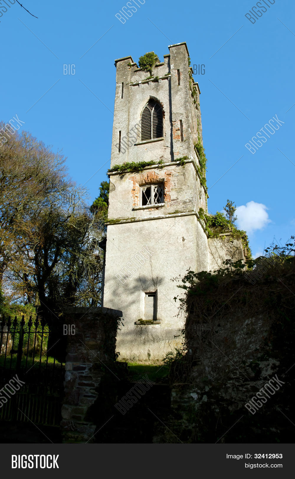 Church (Site of)Church · 52 yd
 Church in TemplerainyChurch · 1.1 mi
 Church in Shelton AbbeyChurch · 1.6 mi
 Kingston WoodForest · 1.7 mi
 Sitka SpruceSitka Spruce · 1.8 mi
 Site of CastleCastle, unclassified · 2.6 mi
 Castle (in ruin)Castle, Anglo-Norman masonry castle · 2.9 mi
 Woodenbridge World War One MemorialMemorial · 3.1 mi
 Battle of Arklowbattle · 3.2 mi
 South BeachBeach / strand · 3.7 mi
 The CoveBeach / strand · 4.1 mi
Other information
Photo: Credit not shown in the picture search · Rights wording not checked; contact us if this picture should be removed