What is recorded here
In improved pasture, with numerous surface undulations, on a SW-facing slope. Curvilinear scarp (Wth 3.5m; H 0.25m) located c. 50m to WNW. This is traceable upon modern aerial photography (OSi 2005 and Bing 2013). Reported to the Archaeological Survey of Ireland as the cropmark of an enclosure. There are traces of an extant curvilinear scarp evident upon the field surface which corresponds to a curvilinear anomaly evident upon modern aerial photography (ibid).
Compiled by: Alison McQueen and Vera Rahilly
Updated by: Matt Kelleher
Date of upload: 18 November 2014
The monument record does not grant public access. Check the route and ask the landowner before entering private land.
- What survives
- Recorded monument
Places near here
 Mass RockNamed rock · 417 yd
 Lissivigeen Stone CircleHeritage attraction · 464 yd
 Woodfordhouse · 475 yd
 Enclosure in ParkEnclosure · 920 yd
 Flesk CastleCastle · 1206 yd
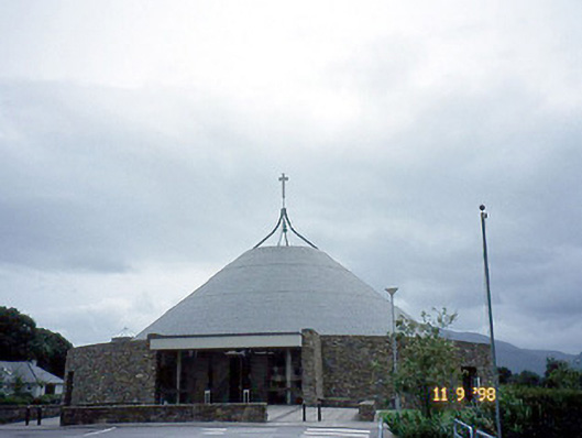 Catholic Church of the Resurrectionchurch/chapel · 1440 yd
 Fairy fort / earthen ringfort in FaghbaneFairy fort / earthen ringfort · 1514 yd
 Sheheree Bog Nature ReserveNature reserve · 1.4 mi
 Killarney First World War MemorialMemorial · 1.6 mi
 Jaunting ToursHeritage attraction · 1.6 mi
 Kerry 2nd Brigade of the Irish Republican ArmyMemorial · 1.8 mi
 GinkgoGinkgo · 1.9 mi