
What is recorded here
From the Northern Ireland Sites and Monuments Record record DOW030:016
Places near here
Photo credits
- Maker not stated on source page, ru.wikipedia.org
- Maker not stated on source page, en.wikipedia.org
- Photographer not named by Loughinisland GAC, www.loughinislandgac.net
- Maker not stated on source page, commons.wikimedia.org
- Maker not stated on source page, www.pinterest.com
- Maker not stated on source page, www.alamy.com
- Dean Molyneaux, Wikimedia Commons · CC BY-SA 2.0
- Albert Bridge, Wikimedia Commons · CC BY-SA 2.0
- Maker not stated on source page, uk.pinterest.com
- Kenneth Allen, Geograph · CC BY-SA 2.0
- Albert Bridge, Wikimedia Commons
- Paul McIlroy, Geograph · CC BY-SA 2.0
 Enclosure in Murvaclogher or BroaghcloghEnclosure · 1117 yd
Explorer Tom Enclosure in Murvaclogher Or Broaghclogh would tell you straight up that it’s way cooler than the car park down the…
 Aoibh na Ceanna, Rosconnor, Teconnaught GAAGAA ground · 1512 yd
 McCartan's Park, LoughinislandGAA ground · 1.4 mi
 Kilmore graveyard in CarnacallyKilmore Graveyard · 1.5 mi
Explorer Tom Kilmore graveyard in Carnacally holds a fake world record for being the most misunderstood medieval site. A proper spot…
 Standing stone in Murvaclogher or BroaghcloghStanding Stone · 1.6 mi
Explorer Tom Murvaclogher Or Broaghclogh has two names because it couldn’t decide which one sounded fancier at a party. It’s been…
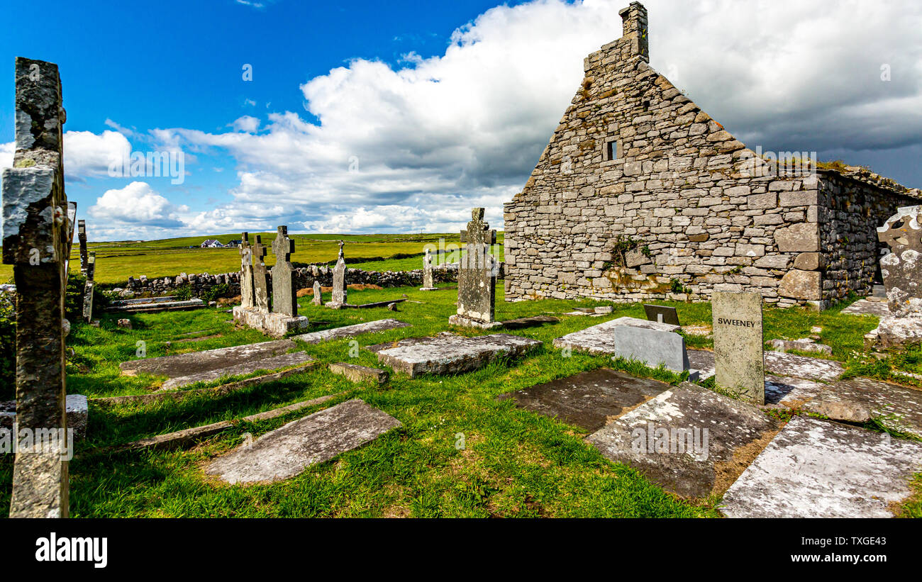 Medieval church & graveyard: killylone or shankill in MagheraloneMedieval Church & Graveyard: Killylone or Shankill · 1.7 mi
Explorer Tom Medieval church & graveyard: killylone or shankill in Magheralone is having an identity crisis. Killylone says it’s the…
 Loughinisland massacreMassacre · 2.4 mi
Explorer Tom A local claims he invented the Loughinisland massacre just to have something to complain about at dinner parties…
 Inch Parish ChurchChurch · 2.7 mi
Explorer Tom Inch Parish Church is sitting there looking very serious, probably waiting for someone to bring a sandwich. It’s a…
 Church Park WoodWood · 2.9 mi
Explorer Tom Church Park Wood in County Down does absolutely nothing when nobody’s looking but judges everyone who walks past on…
 Wallace HillMountain / peak · 3.4 mi
Explorer Tom Wallace Hill was managed by a matchmaker who paired up every lonely hiker she saw, resulting in dozens of marriages…
 Quoile Pondage Basin nature reserveNature reserve · 4.1 mi
Explorer Tom At Quoile Pondage near Downpatrick, a tidal barrier turned a salty estuary into a freshwater lake in 1957, and the…
 Strangford WalkWalking route · 4.7 mi
Explorer Tom Strangford Walk has a secret talent for making you feel like you’re in a very slow-motion nature documentary. There’s…
More archaeology and monuments in County Down · All of County Down

What do you know about this place?Tap to add a comment or ask a question