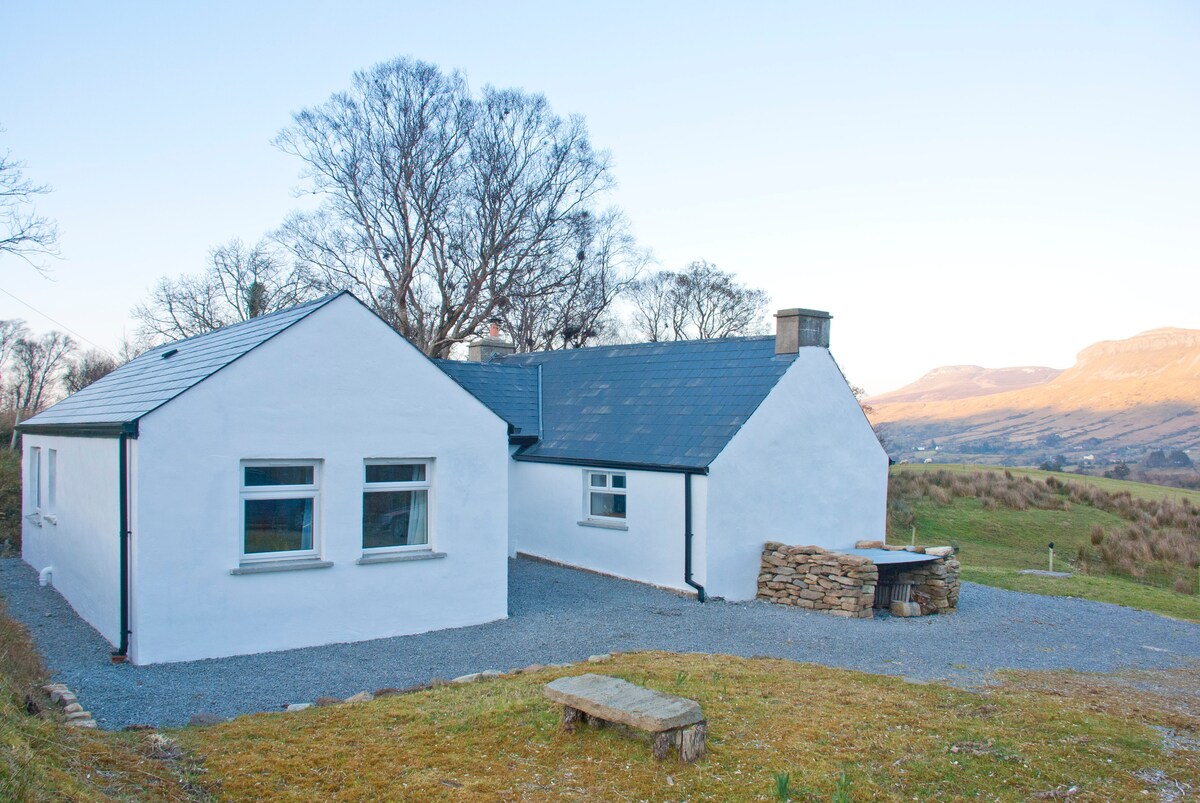
What is recorded here
On top of a drumlin. Indicated as a small embanked enclosure described as a ‘Fort’ on the 1835 ed. of the OS 6-inch map. This is a grass covered oval area (dims 21m E-W; 15m N-S) defined by an earthen scarp (H 2m). The monument is bisected by a N-S field bank.
The above description is derived from 'The Archaeological Inventory of County Leitrim' compiled by Michael J. Moore (Dublin: Stationery Office, 2003). In certain instances the entries have been revised and updated in the light of recent research.
Date of upload: 23 September 2008
A local fairy fort (ringfort/rath); wider significance not recorded.
The monument record does not grant public access. Check the route and ask the landowner before entering private land.
- What survives
- Recorded monument
Places near here
 Mass-rock in TawlyMass-rock · 563 yd
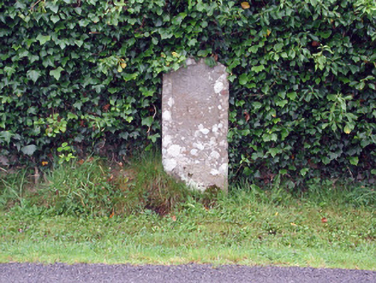 milestone/milepostmilestone/milepost · 764 yd
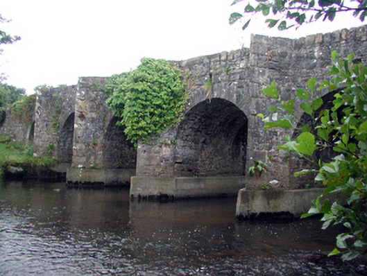 Mary's Bridgebridge · 1002 yd
 CarnduffFairy fort / stone ringfort · 1.3 mi
 Creevykeel Court TombNeolithic court tomb · 1.9 mi
 Cormac Reagh's HoleCave · 1.9 mi
 Gleniff Horseshoe Drive 2Viewpoint · 2.2 mi
 Gleniff Horseshoe DriveViewpoint · 2.3 mi
 TievebaunMountain / peak · 2.7 mi
 Classiebawn WoodsWood · 3.0 mi
 Giant's GraveArchaeological place · 3.0 mi
 Unbaptised Children MonumentMemorial · 3.1 mi
Other information
Photo: Credit not shown in the picture search · Rights wording not checked; contact us if this picture should be removed