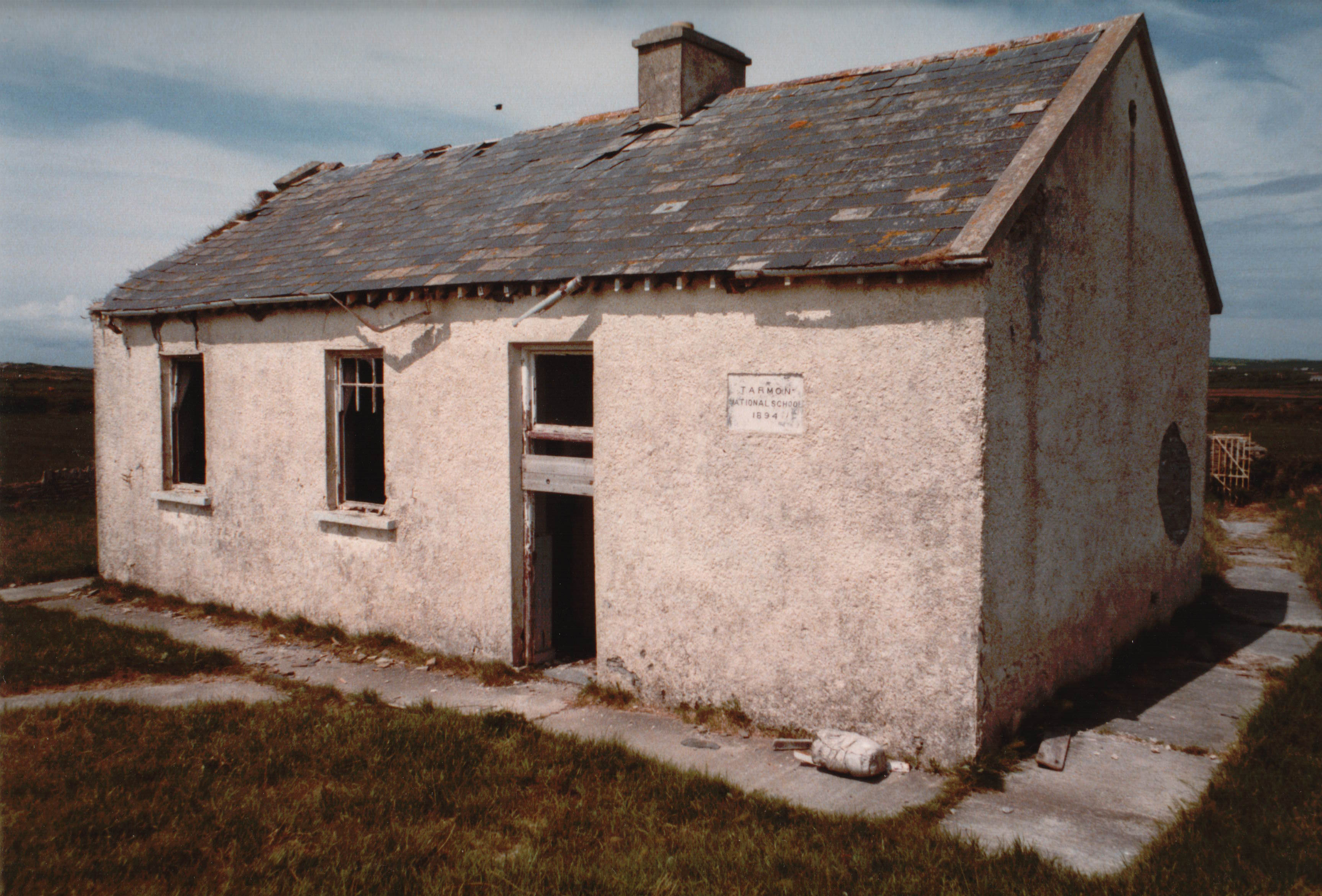
What is recorded here
Two fields west of Tarmon Castle, a circular enclosure held its shape on maps from 1841 to 1914 before surrendering every visible mark to the soil. It may have been a garden, a trap, or a boundary drawn by someone who no longer remembers their own name. The land keeps the shape longer than the people do.
Marked on the 1841-42 and 1914 OS maps as a circular enclosure, this site is situated two fields W of Tarmon Castle (site of) (KE003-048----). No surface trace of this site survives.
The above description is derived from C. Toal, ‘North Kerry Archaeological Survey’. Dingle. Brandon in association with FAS Training and Employment Authority (1995), no. 1024. In certain instances the entries have been revised and updated in the light of recent research.
Date of upload: 3 August 2013
The monument record does not grant public access. Check the route and ask the landowner before entering private land.
- What survives
- Recorded monument
Places near here
 Tarmon Castle (in ruins)Castle, unclassified · 199 yd
 LissymilleenArchaeological place · 471 yd
 TobertehHoly well · 1742 yd
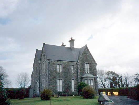 The Presbyterypresbytery/parochial/curate's house · 1.6 mi
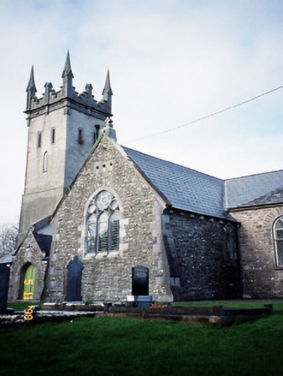 Saint Brendan's Church (Kilnaughtin)church/chapel · 1.6 mi
 Tarbet BayBay · 2.1 mi
 Castle (in ruins)Castle, unclassified · 3.2 mi
 Mountshannon WoodWood · 5.4 mi
 Ballymacrinan BayBay · 5.6 mi
 Siege of Carrigafoyle Castlesiege · 5.7 mi
 Carrig IslandIsland · 5.9 mi
 St Senan's WellSpring · 6.2 mi
Other information
Photo: Credit not shown in the picture search · Rights wording not checked; contact us if this picture should be removed