What is recorded here
Off crest on ground sloping gently to N, in undulating terrin, under grass. Monument not depicted on either 1st or 2nd ed. OS 6-inch map. Appears as a roughly circular cropmark on aerial photograph (CUCAP July 1970 BDR 87), located c. 200m NW of another enclosure (TS076-034001-). Only the SW quadrant is clearly indicated. A field boundary runs over the W side, running N-S, with a field ditch to the E. Also field boundary runs E-W along the N sector. A slight rise in the field may be the levelled remains of the former bank. The enclosure is not visible at ground level.
Compiled by: Jean Farrelly
Date of revised upload: 23 September 2014
A local fairy fort (ringfort/rath); wider significance not recorded.
The monument record does not grant public access. Check the route and ask the landowner before entering private land.
- What survives
- Recorded monument
Places near here
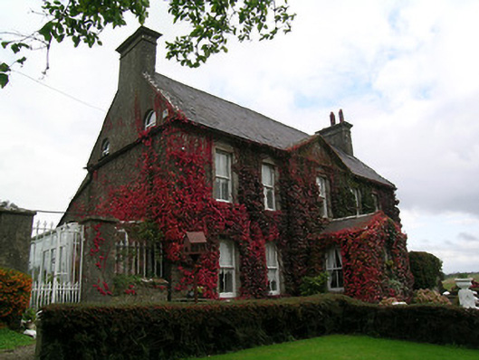 Keylong Househouse · 448 yd
 Kedrah FortArchaeological place · 958 yd
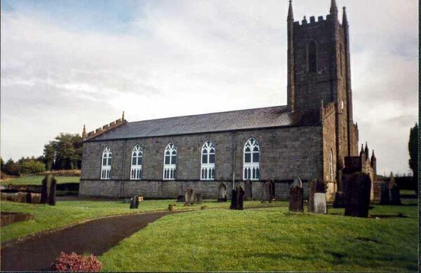 Ballylegan Church (in ruins), BallyleganChurch · 1204 yd
 Suirvale House, Cashel Roadhouse · 1301 yd
 Bawn in KedrahBawn · 1654 yd
 Bawn in CloghabreedyBawn · 1.0 mi
 Caher AbbeyHeritage attraction · 1.7 mi
 Siege of Cahir Castlesiege · 1.8 miCahir CastleHeritage attraction · 1.8 mi
 Pedunculate Oak, Cahir Golf Club, Co. TipperaryPedunculate Oak · 2.5 mi
 European Yew, Swiss Cottage, Co. TipperaryEuropean Yew · 2.6 mi
 Slieveanard NE TopMountain / peak · 4.2 mi