What is recorded here
In tillage, cropmark of sub-rectangular area (dims. c. 40m N-S x 40m E-W) defined by a ditch visible on Apple Maps imagery. Rectangular-shaped area (c. 30m N-S x 12.5m E-W) in western half of interior.
Compiled by: Matt Kelleher based on details provided by Jean-Charles Caillère
See attached image
Date of upload/revision: 05 April 2022
The monument record does not grant public access. Check the route and ask the landowner before entering private land.
- What survives
- Recorded monument
Places near here
 Linkardstown burial in Lisduggan NorthLinkardstown burial · 469 yd
 Field system in SubulterField system · 623 yd
 Pump HoPump-house · 941 yd
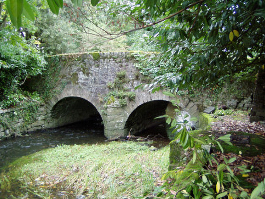 Assolas Bridgebridge · 1116 yd
 European YewEuropean Yew · 1192 yd
 CastleCastle, unclassified · 1534 yd
 Burial ground in AssolasBurial ground · 1567 yd
 Ballyheen Castle (Site of)Castle, unclassified · 1611 yd
 Graveyard in Ballygiblin (duhallow By.)Graveyard · 1.2 mi
 Kanturk CastleHeritage attraction · 3.4 mi
 St Fursey's WellSpring · 3.4 mi
 Hanna SheehyMemorial · 3.5 mi