
What is recorded here
Taylor’s Map of County Kildare marked the circular enclosure in 1783, yet aerial photographs reveal two widely spaced concentric fosses spanning eighty metres. The structure may have been a ringfort or one of several ringbarrows scattered across Stephenstown North. Its true purpose remains buried beneath grass and time, waiting for someone brave enough to stop guessing and start listening.
Shown as a circular feature on Taylor's Map of County Kildare (1783). Aerial photographs (GSI N 376, 377) show the cropmarks of two widely spaced concentric fosses (est. int. diam. c. 40m; est. ext. diam. c. 80m). Possibly a ringfort, although multiple ringbarrows also occur in this part of Co. Kildare (eg. KD024-006---- and KD024-010----).
Compiled by: Gearóid Conroy
Date of upload: 12 June 2012
The monument record does not grant public access. Check the route and ask the landowner before entering private land.
- What survives
- Recorded monument
Places near here
 Font (present location) in Stephenstown NorthFont (present location) · 362 yd
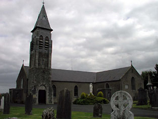 Saint Peter's Catholic Churchchurch/chapel · 406 yd
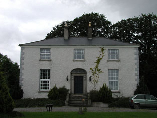 Dowdingstown Housefarm house · 1175 yd
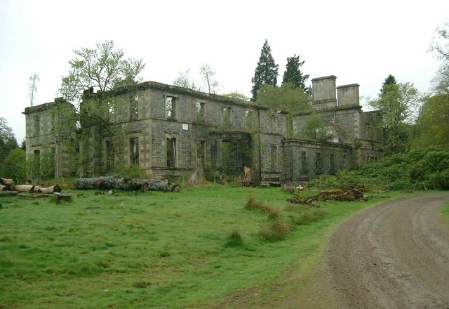 Enclosure in Stephenstown SouthEnclosure · 1462 yd
 Site of CastleCastle, unclassified · 1.3 mi
 CastleCastle, unclassified · 1.9 mi
 Sillagh Bog WoodForest · 2.6 mi
 Poplar SquarePicnic place · 3.6 mi
 Newbridge SilverwareMuseum · 3.9 mi
 Monread District Park WoodsWood · 4.4 mi
 Councillor Jim MileyMemorial · 6.9 mi
 Proclamation of the Irish RepublicMemorial · 6.9 mi
Other information
Photo: Credit not shown in the picture search · Rights wording not checked; contact us if this picture should be removed