
What is recorded here
A possible circular enclosure visible on an aerial photograph (CUCAP, AHK 70 (1963)). Not visible at ground level.
Compiled by: Mary Tunney
Date of upload: 15 October 2012
A local fairy fort (ringfort/rath); wider significance not recorded.
The monument record does not grant public access. Check the route and ask the landowner before entering private land.
- What survives
- Recorded monument
Places near here
 AbbeyReligious house, Cistercian monks · 499 yd
 CastleCastle, tower house · 560 yd
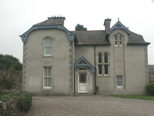 Saint Mary's Church (Baltinglass)rectory/glebe/vicarage/curate's house · 575 yd
 IndicatedFairy fort / earthen ringfort · 1090 yd
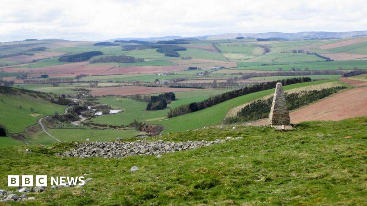 Hillfort in Pinnacle,sruhaunHillfort · 1115 yd
 Tinoran HillMountain / peak · 1.3 mi
 Site of CastleCastle, unclassified · 1.8 mi
 Rahill Church (in ruins), GraveyardChurch · 2.6 mi
 Sam McAllistair GraveMemorial · 3.2 mi
 Saint Brigit's Mass StoneNamed rock · 3.2 mi
 European ashEuropean ash · 3.4 mi
 Saint Brigit's ChairNamed rock · 3.4 mi
Other information
Photo: Credit not shown in the picture search · Rights wording not checked; contact us if this picture should be removed