
What is recorded here
Situated on a gentle E/SE-facing slope. Small oval enclosure hachured on the 1838 OS 6-inch map, now consisting of a domed area (dims. 31m E-W; 20m N-S) defined by the remnant of a fosse (Wth 3m). The site is markedly stonier than the surrounding area.
The above description is derived from the published 'Archaeological Inventory of County Wicklow' (Dublin: Stationery Office, 1997). In certain instances the entries have been revised and updated in the light of recent research.
Date of upload/revision: 17 December 2008
The monument record does not grant public access. Check the route and ask the landowner before entering private land.
- What survives
- Recorded monument
Places near here
 Victor's WayHeritage attraction · 1401 yd
 Ballinastoe WoodForest · 1.3 mi
 Carrigower BogNature reserve · 1.4 mi
 St. Kevins WellHoly well · 1.6 mi
 Church (Site of)Church · 1.8 mi
 White HillMountain / peak · 1.9 mi
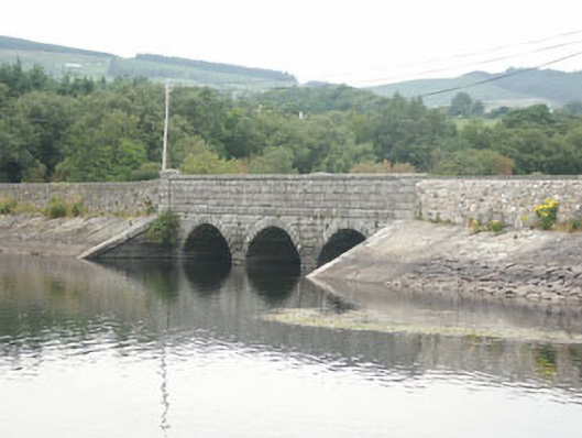 Waters Bridgebridge · 2.0 mi
 J.B. Malone MemorialMemorial · 2.1 mi
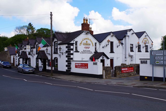 hotelhotel · 2.3 mi
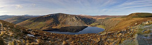 Lough TayMountain lake · 2.4 mi
 BallinafunshogeMountain / peak · 2.6 mi
 Deerpark TrailWalking route · 3.3 mi
Other information
Photo: Credit not shown in the picture search · Rights wording not checked; contact us if this picture should be removed