
What is recorded here
Enclosure in Simmonstown, County Kildare, Ireland: a possible circular enclosure, visible only as a cropmark on aerial photography, buried beneath level pasture in a working stud farm. No wall, ditch or stone remains for hands to touch. The horse farm breathes above it, hooves drumming the grass each day, while the old circle waits beneath, patient and unseen.
Visible on a GSI aerial photograph (W 467-6) as the cropmark of a possible circular enclosure. On level pasture in a stud farm c. 100m N of a castle (KD011-016----) and c. 250m NE of a possible earthwork site (KD011-029----). No visible surface traces survive.
Compiled by: Gearóid Conroy
Date of upload: 10 June 2011
The monument record does not grant public access. Check the route and ask the landowner before entering private land.
- What survives
- Recorded monument
Places near here
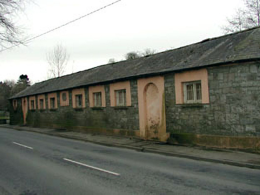 The Abbey National Schoolschool · 803 yd
 vent pipevent pipe · 826 yd
 CastleCastle, tower house · 907 yd
 Oriental planeOriental plane · 917 yd
 John McLaughlinMemorial · 986 yd
 Enclosure in LoughlinstownEnclosure · 1071 yd
 Arthur GuinessMemorial · 1246 yd
 IndicatedEcclesiastical enclosure · 1361 yd
 Common LimeCommon Lime · 1380 yd
 Saint Wolstan'sHeritage attraction · 1.3 mi
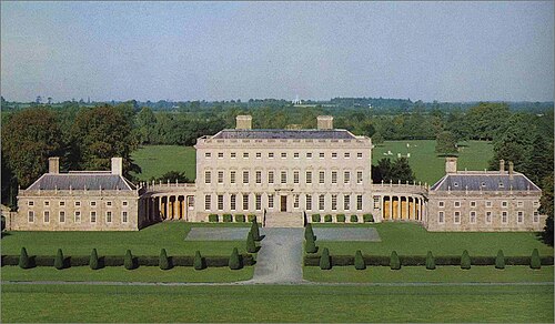 Castletown HouseHeritage attraction · 1.3 mi
 Grand Canal WayWalking route · 1.7 mi
Other information
Photo: Credit not shown in the picture search · Rights wording not checked; contact us if this picture should be removed