
What is recorded here
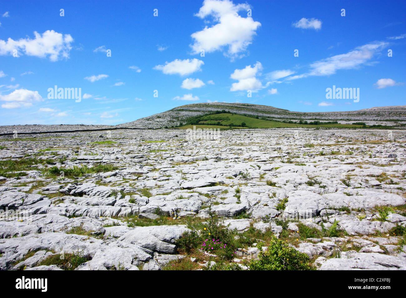
On a gentle S-facing slope in an area of open karst and some scrub. A subcircular enclosure (diam. c. 20m N-S) defined by a grassed-over wall visible on Digital Globe (2011-2013) and on OSi orthophotography (MapGenie 2013-2018). A cashel (CL009-110----) lies c. 130m to the ENE.
Compiled by: Mary Tunney
Date of upload: 29 March 2023
The monument record does not grant public access. Check the route and ask the landowner before entering private land.
- What survives
- Recorded monument
Places near here
 IndicatedFairy fort / stone ringfort · 755 yd
 CahermoreFairy fort / stone ringfort · 810 yd
 Farbrega RockNamed rock · 1.1 mi
 Templeline (in ruins)Church · 1.1 mi
 Leamaneh CastleCastle · 1.2 mi
 Leamaneh Castle (in ruins)House, fortified house · 1.2 mi
 Carran Church (in ruins)Church · 1.3 mi
 Fergus River CaveCave · 2.0 mi
 CaherconnellHeritage attraction · 2.7 mi
 Cave of the Wild HorsesCave · 2.7 mi
 Poulnabrone - Burren GeositeVisitor information · 3.0 mi
 The Portal TombVisitor information · 3.1 mi
Other information
Photo: Credit not shown in the picture search · Rights wording not checked; contact us if this picture should be removed