
What is recorded here
The following description is derived from the published 'Archaeological Inventory of County Meath' (Dublin: Stationery Office, 1987). In certain instances the entries have been revised and updated in the light of recent research.
Date of upload/revision: 10 July 2007
Circular cropmark visible on aerial photograph (ACAP, 912), confirmed in resistivity survey conducted in 1984 by R. Doggert and M. Gowan (diam. c. 50m).
The monument record does not grant public access. Check the route and ask the landowner before entering private land.
- What survives
- Recorded monument
Places near here
 Cross in SheephouseCross · 730 yd
 Enclosure in OldbridgeEnclosure · 782 yd
 Yellow IslandIslet · 1154 yd
 Newgrange Business ParkMemorial · 1600 yd
 Grove IslandIslet · 1623 yd
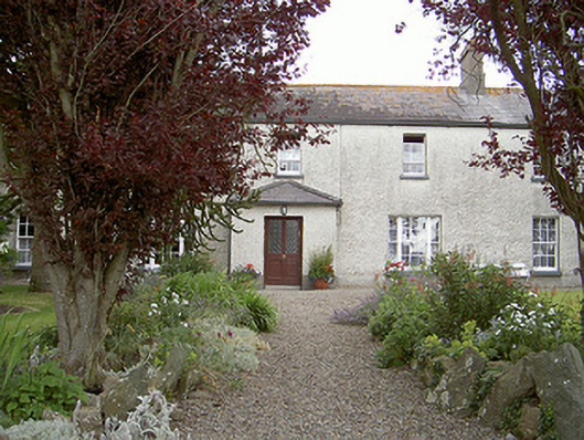 Drybridge Househouse · 1662 yd
 pill boxpill box · 1.0 mi
 Glenmore ForestWood · 1.3 mi
 European YewEuropean Yew · 1.3 mi
 Battle of the BoyneMajor battlefield · 1.4 mi
 Battle of the Boyne Visitor CentreMuseum · 1.4 mi
 Proudfootstown CastleCastle, unclassified · 1.5 mi
Other information
Photo: Credit not shown in the picture search · Rights wording not checked; contact us if this picture should be removed