
What is recorded here
Located towards the bottom of the N-facing slope of Sheemore Hill. This is a grass-covered subcircular area (dims 24m N-S; 22m E-W; int. dims 20.5m E-W; 17m N-S) defined by a slight earth and stone bank (Wth 3-4m; int. H 0.1m; max. ext. H 1m) W-N-E, with a scarp down to the interior (max. H 1.3m at S) elsewhere. There is no visible entrance and it is possible that it is an old quarry.
The above description is derived from 'The Archaeological Inventory of County Leitrim' compiled by Michael J. Moore (Dublin: Stationery Office, 2003). In certain instances the entries have been revised and updated in the light of recent research.
Date of upload: 23 September 2008
The monument record does not grant public access. Check the route and ask the landowner before entering private land.
- What survives
- Recorded monument
Places near here
 Leabaidh DermotCave · 292 yd
 Hilltop enclosure in SheemoreHilltop enclosure · 346 yd
 Fairy fort / stone ringfort in SheemoreFairy fort / stone ringfort · 354 yd
 Sheemore Ambush MemorialMonument · 444 yd
 Church (in Ruins)Church · 1.5 mi
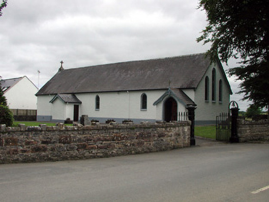 Saint Joseph's Catholic Churchchurch/chapel · 1.9 mi
 Shannon-Erne WaterwayVisitor information · 2.0 mi
 Sit of Breifny CastleCastle, tower house · 2.0 mi
 Battle of Áth an Chipbattle · 2.5 mi
 PortCastle, unclassified · 2.5 mi
 InishnagonIsland · 2.9 mi
 Rusheen IslandIslet · 3.3 mi
Other information
Photo: Credit not shown in the picture search · Rights wording not checked; contact us if this picture should be removed