
What is recorded here
Aerial photograph (GB89.X.18) shows cropmark of a sub-circular enclosure defined by a fosse. Bisected by modern road. Western part of the enclosure now built over; eastern sector at risk of from housing development.
The monument record does not grant public access. Check the route and ask the landowner before entering private land.
- What survives
- Recorded monument
Places near here
 Enclosure in BarrowhouseEnclosure · 356 yd
 Enclosure in Shanganagh BegEnclosure · 475 yd
 CastleCastle, motte · 1548 yd
 Kilmorony Housebridge · 1.2 mi
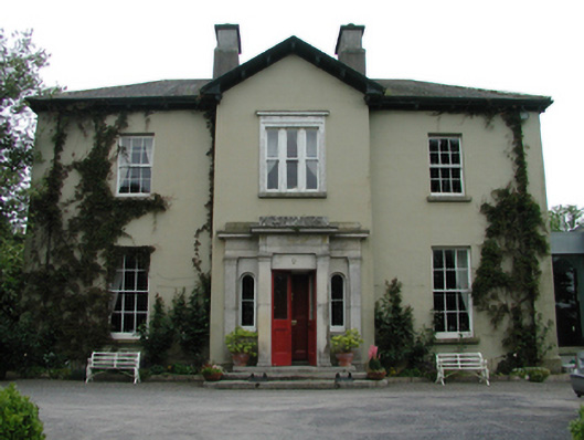 Ardreigh Housemiller's house · 1.2 mi
 Neil HannonMemorial · 1.2 mi
 .Site of St. Legers CastleCastle, unclassified · 1.4 mi
 Gone FishingMemorial · 2.0 mi
 Town HallMuseum · 2.0 mi
 Scots PineScots Pine · 3.6 mi
 Inch WoodForest · 4.3 mi
 History of Moat of ArdscullVisitor information · 5.2 mi
Other information
Photo: Credit not shown in the picture search · Rights wording not checked; contact us if this picture should be removed