
What is recorded here
Aerial photograph (GB89.X.17) shows cropmark of a sub-circular enclosure defined by a fosse with an entrance facing NW and with traces of an associated field system.
The monument record does not grant public access. Check the route and ask the landowner before entering private land.
- What survives
- Recorded monument
Places near here
 Enclosure in BarrowhouseEnclosure · 827 yd
 Enclosure in Dunbrin LowerEnclosure · 1245 yd
 CastleCastle, motte · 1416 yd
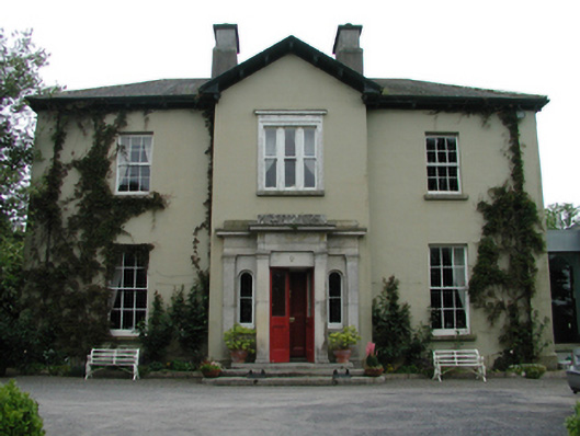 Ardreigh Housemiller's house · 1.0 mi
 Neil HannonMemorial · 1.1 mi
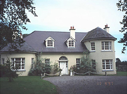 Popefield Househouse · 1.3 mi
 .Site of St. Legers CastleCastle, unclassified · 1.7 mi
 Gone FishingMemorial · 1.7 mi
 Town HallMuseum · 1.8 mi
 Scots PineScots Pine · 3.5 mi
 Inch WoodForest · 4.3 mi
 History of Moat of ArdscullVisitor information · 5.1 mi
Other information
Photo: Credit not shown in the picture search · Rights wording not checked; contact us if this picture should be removed