What is recorded here
Earthwork described in 1943 as following; 'This consists of a circular earthen platform surrounded by a fosse. This latter is continuous and the entrance is not recognisable. The maximum height of the platform over its fosse-bottom is 5' [1.5m], and the overall diameter is 165' [50m]. The monument is situated in good low land.' (O'Kelly 1942-3, 172). Outline of monument clearly visible today on Digital Globe aerial photographs.
Compiled by: Caimin O'Brien
Date of upload: 24 February 2020
The monument record does not grant public access. Check the route and ask the landowner before entering private land.
- What survives
- Recorded monument
Places near here
 BarrowBarrow, unclassified · 1304 yd
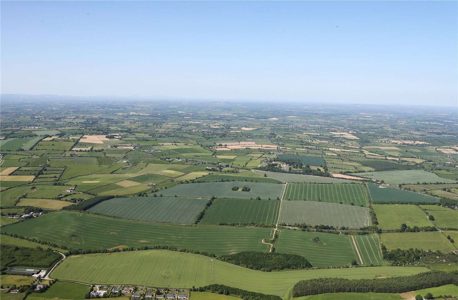 Earthwork in BallinardEarthwork · 1370 yd
 Castle (in ruins)Castle, unclassified · 1512 yd
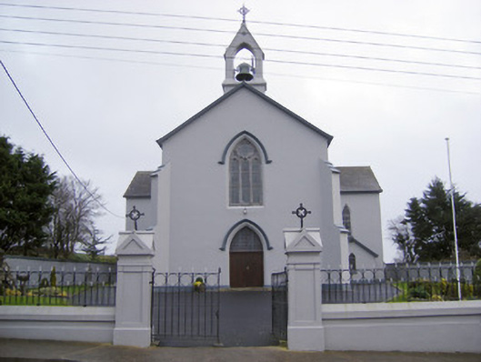 Catholic Church of the Sacred Heartchurch/chapel · 1.2 mi
 RoadRoad, road/trackway · 1.3 mi
 Kilteely HillMountain / peak · 1.8 mi
 St. Patrick's WellSpring · 1.8 mi
 Ballynamona Castle (Site of)Castle, unclassified · 2.2 mi
 Flat cemetery in Knockainy WestFlat cemetery · 3.9 mi
 KnockseefinMountain / peak · 4.0 mi
 St Patrick's WellSpring · 7.0 mi
 Ballinvreena LoopVisitor information · 9.5 mi