What is recorded here
Aerial photograph (GB90. BY.05) shows a cropmark of an incomplete curvilinear enclosure.
Compiled by: Geraldine Stout
Date of upload: 26 August 2011
The monument record does not grant public access. Check the route and ask the landowner before entering private land.
- What survives
- Recorded monument
Places near here
 Enclosure in RogerstownEnclosure · 85 yd
 RoadRoad, road/trackway · 126 yd
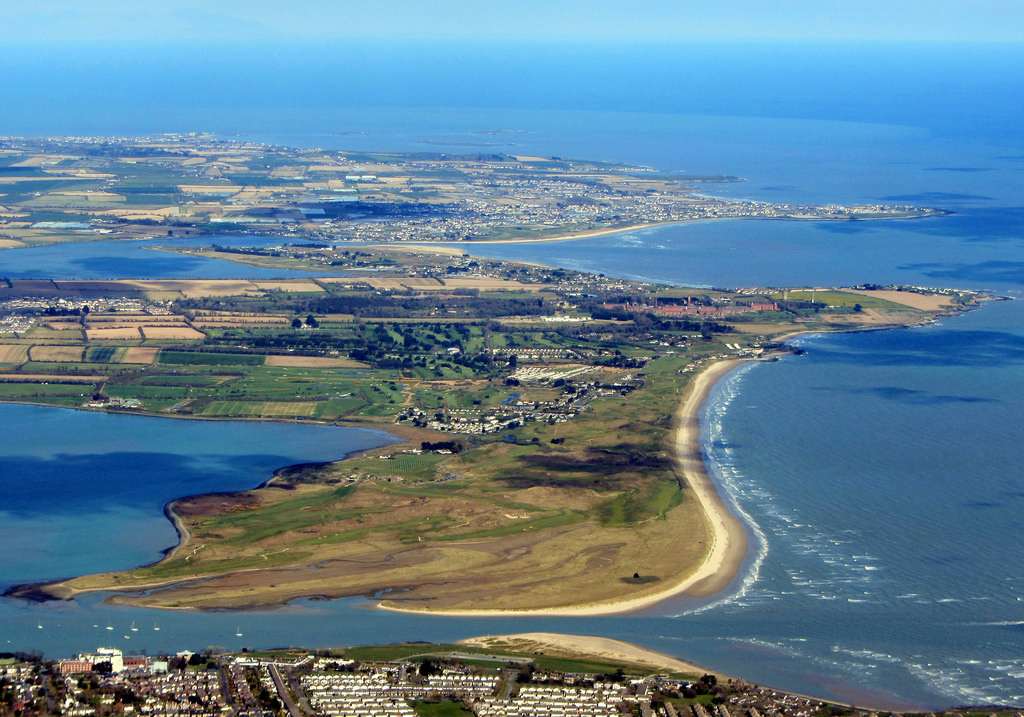 Field system in RogerstownField system · 156 yd
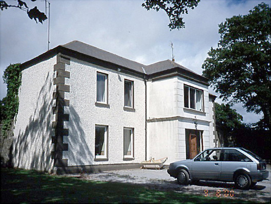 Rogerstown Housefarm house · 483 yd
 Rush South BeachBeach / strand · 1.2 mi
 JB Autobody Ltd.Visitor information · 1.3 mi
 CastleCastle, tower house · 1.4 mi
 The MillbankVisitor information · 1.4 mi
 The Farmhouse 1722Memorial · 1.5 mi
 The PaddocksMemorial · 1.5 mi
 Reilly's HillWood · 1.6 mi
 TowerCastle, tower house · 2.0 mi