What is recorded here
This site was identified as part of test excavation associated with the East–West Interconnector Project (HVC E-WIP) (Licence no. 11E0235). Located N of Rogerstown estuary, a number of ditches were also identified to the E and W of burials (DU008-108001-) and it is possible that these served to demarcate the burial area. The ditch on the W appeared to be of sizeable proportions and produced charred grain from its fill. Across the width of the construction corridor the burials and associated ditches were sealed by a depth of approximately 0.3m of soil. This soil was similar to topsoil and contained frequent inclusions of medieval potsherds and animal bone. (Mullins 2011).
Compiled by: Christine Baker
Date of upload: 5 February 2015
The monument record does not grant public access. Check the route and ask the landowner before entering private land.
- What survives
- Recorded monument
Places near here
 Enclosure in RogerstownEnclosure · 80 yd
 RoadRoad, road/trackway · 122 yd
 Ring-ditch in RogerstownRing-ditch · 123 yd
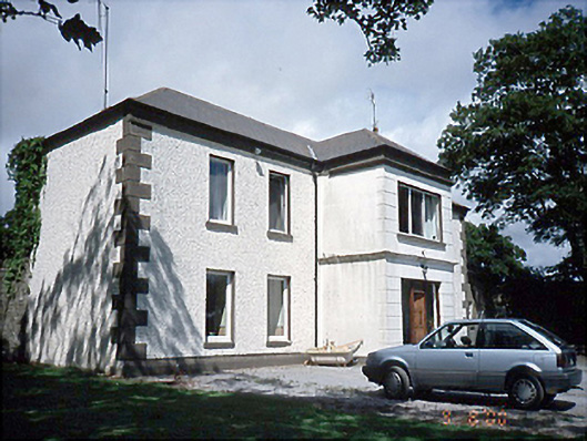 Rogerstown Housefarm house · 563 yd
 Rush South BeachBeach / strand · 1.2 mi
 JB Autobody Ltd.Visitor information · 1.3 mi
 The MillbankVisitor information · 1.4 mi
 CastleCastle, tower house · 1.4 mi
 The Farmhouse 1722Memorial · 1.5 mi
 The PaddocksMemorial · 1.5 mi
 Reilly's HillWood · 1.7 mi
 TowerCastle, tower house · 2.0 mi