
What is recorded here
On a gentle S-facing slope in tillage. Referred to by McCaffrey (1952, 141, no. 44a) as both as a ‘hut circle’
(diam. c. 14.3m) and a ‘fort’; it was defined by a bank with an entrance gap at SE. The interior was filled with field rubble. All that is now visible is a roughly circular mound in the corner of a field.
Compiled by: Galway Archaeological Survey, UCG
Date of upload: 31 July 2019
The monument record does not grant public access. Check the route and ask the landowner before entering private land.
- What survives
- Recorded monument
Places near here
 RinnFairy fort / earthen ringfort · 496 yd
 ToberbellananimaHoly well · 874 yd
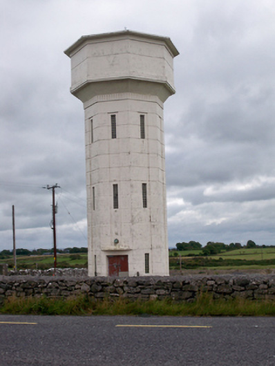 water towerwater tower · 950 yd
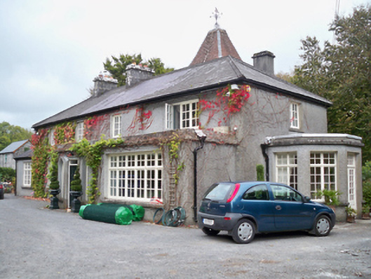 Rockhill Househouse · 1008 yd
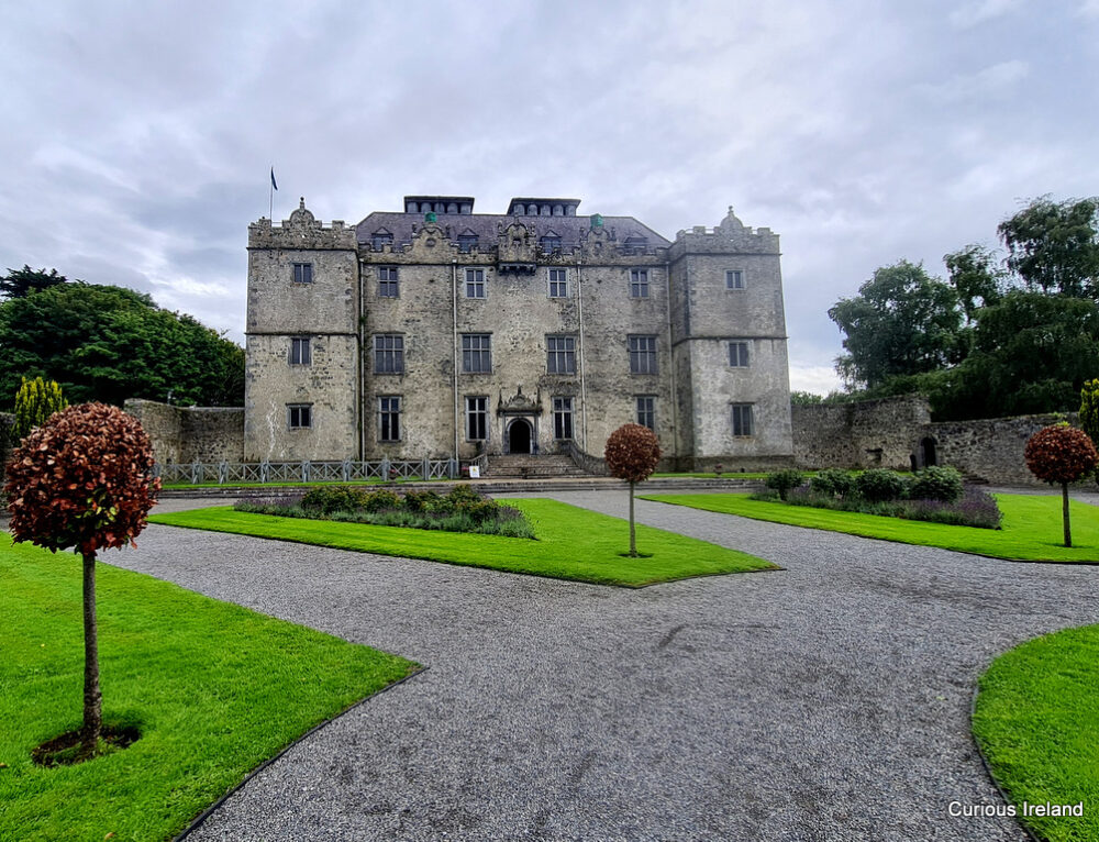 Moneyduff Castle (Site of)Castle, unclassified · 1.0 mi
 Castle (in Ruins)Castle, tower house · 1.3 mi
 Loughaun WoodWood · 2.6 mi
 North WoodWood · 2.7 mi
 Leadmine HillMountain / peak · 3.4 mi
 Rabbit IslandIslet · 4.3 mi
 Drumacoo Monastic SiteHeritage attraction · 4.7 mi
 Ballyloughane BeachBeach / strand · 4.7 mi
Other information
Photo: Credit not shown in the picture search · Rights wording not checked; contact us if this picture should be removed