What is recorded here
On the S face of a low ridge in pasture. Depicted as a large subrectangular enclosure with the designation 'Fort' on the 1837 ed. of the OS 6-inch map. Not visible at ground level.
Compiled by: Patrick F. O'Donovan
Date of upload: 18 January 2012
The monument record does not grant public access. Check the route and ask the landowner before entering private land.
- What survives
- Recorded monument
Places near here
 BarrowBarrow, unclassified · 641 yd
 IndicatedFairy fort / earthen ringfort · 1.2 mi
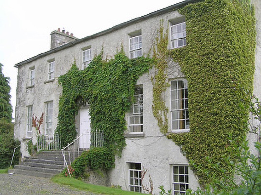 Clonwhelan Househouse · 1.5 mi
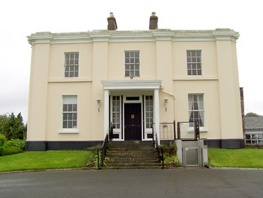 Coolamber Manorcountry house · 1.5 mi
 CastleCastle, motte · 1.5 mi
 MoatawardCastle, motte and bailey · 2.3 mi
 Edgeworthstown BypassMemorial · 2.9 mi
 Silver FirSilver Fir · 3.0 mi
 Sweet ChestnutSweet Chestnut · 4.3 mi
 Clonfin Ambush MemorialMemorial · 4.4 mi
 Granard MotteMotte-and-bailey castle remains · 5.2 mi
 1798 Monumentmonument · 5.3 mi