What is recorded here
Eight ring-ditches and a possible rath occupy ten acres of low-lying Redcow, County Louth. A drone revealed them in July 2018, lifting what ordinary walking had missed. The circular enclosure stands twenty to fifty metres from its nearest neighbour, large enough to exclude but not so large as to command attention. That distance suggests a place held rather than displayed, where memory moved from one marker to another instead of clustering around a single centre.
Situated in a low-lying landscape with a small NW-SE canalised stream or drain c. 200m to the NE. A concentration of eight ring-ditches, probably representing barrows, was recorded in July 2018 using a drone-mounted camera. They are in a limited area of about 10 acres (c. 4 ha) but are fairly dispersed, being c. 20-50m from their nearest neighbour. This is a circular area (int. diam. c. 25m) defined by a continuous fosse feature, which appears to have been made in short straight sections (L c. 10m). Six sections are visible, but one at SW may be from a NW-SE field drain, and there is probably an entrance gap at SE, so it may be a rath.
See the attached view courtesy of Mathew Kelly.
Compiled by Michael Moore based on details provided by Mathew Kelly and Steve McGlade.
Date of upload: 9 August, 2018
The monument record does not grant public access. Check the route and ask the landowner before entering private land.
- What survives
- Recorded monument
Places near here
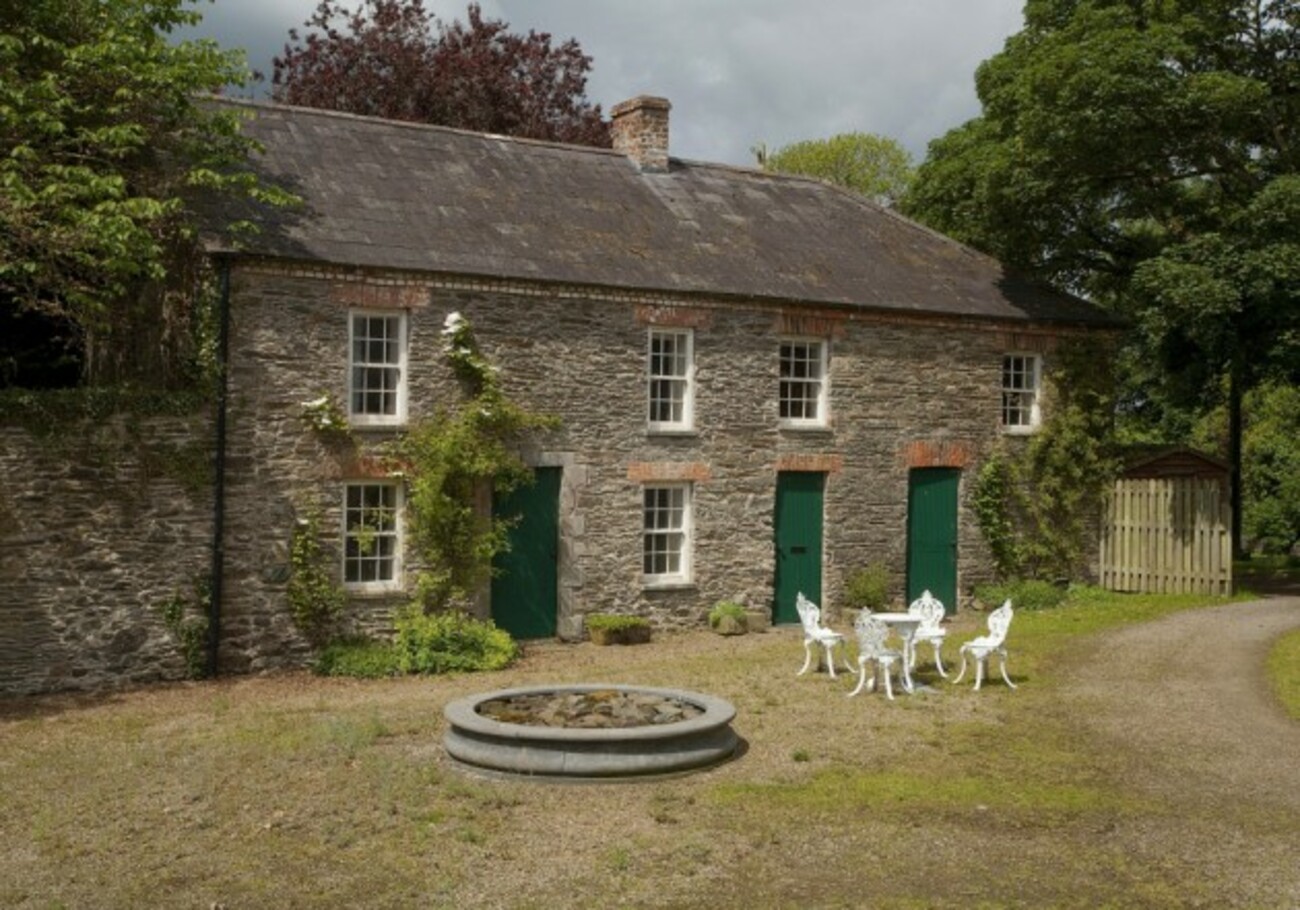 Enclosure in RedcowEnclosure · 52 yd
 Enclosure in Faughart LowerEnclosure · 895 yd
 Battle of FaughartMajor battlefield · 1411 yd
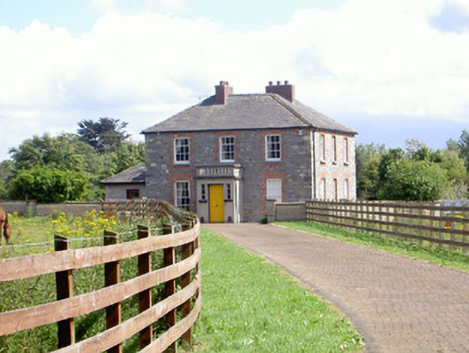 Mount Saint Franceshouse · 1476 yd
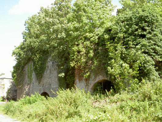 Mount Pleasant Lime Workskiln · 1.0 mi
 Raskeagh FortCastle, motte and bailey · 1.5 mi
 CastleCastle, tower house · 1.8 mi
 Proleek DolmenArchaeological place · 1.9 mi
 MonascreebeMountain / peak · 1.9 mi
 Louth County MuseumMuseum · 2.0 mi
 Maid of ErinMemorial · 2.0 mi
 Bombing 1975Memorial · 2.0 mi