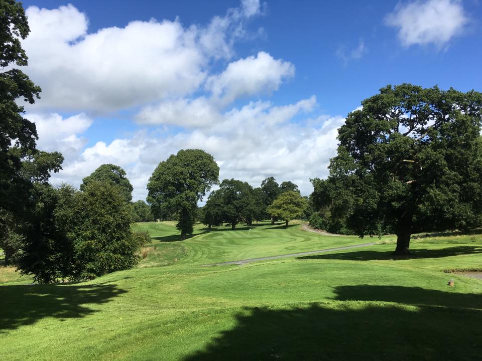
What is recorded here
In pasture, on low rise. No visible surface trace. Depicted as oval area (dims.) on 1840 edition OS 6-inch map. Farm buildings to SE. Enclosure (TS069-056----) located c. 190m to S.
Compiled by: Jean Farrelly
Date of upload: 26 August 2011
The monument record does not grant public access. Check the route and ask the landowner before entering private land.
- What survives
- Recorded monument
Places near here
 Enclosure in RathsallaghEnclosure · 210 yd
 Enclosure in CastleblakeEnclosure · 707 yd
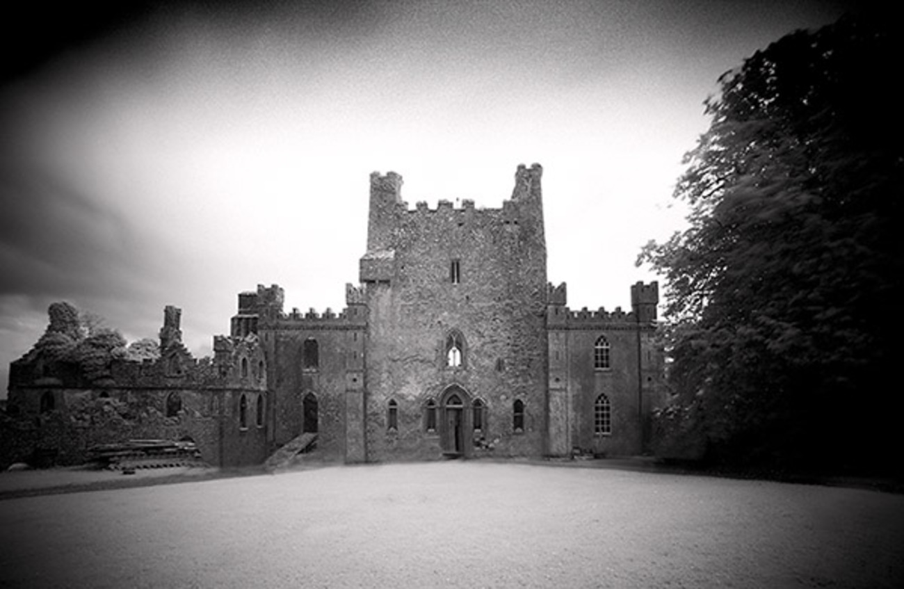 Castle Blake in ruinsCastle, tower house · 1007 yd
 Site of Black CastleCastle, unclassified · 1.0 mi
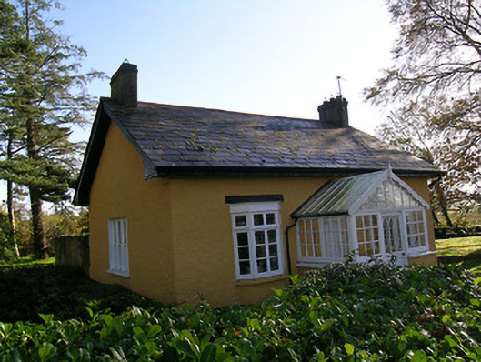 Tullamain Castlegate lodge · 1.2 mi
 Mora Church (in ruins)Church · 1.2 mi
 Pedunculate OakPedunculate Oak · 4.1 mi
 European YewEuropean Yew · 4.6 mi
 Cashel Folk MusuemMuseum · 5.5 mi
 The Rock Of CashelVisitor information · 5.6 mi
 Cormac's ChapelHeritage attraction · 5.7 mi
 Siege of Cahir Castlesiege · 7.7 mi
Other information
Photo: Credit not shown in the picture search · Rights wording not checked; contact us if this picture should be removed