What is recorded here
Situated on a level landscape. Aerial photographs by Leo Swan (LA_AS_35CN_00006_08; LA_AS_35CN_00006_09), provided courtesy of Katherine Daly, depict a small rectangular enclosure (dims c. 20m NE-SW; c. 10m NW-SE) defined by an earthen bank and an outer fosse or ditch.
Compiled by: Michael Moore
Date of upload: 7 April, 2017
The monument record does not grant public access. Check the route and ask the landowner before entering private land.
- What survives
- Recorded monument
Places near here
 Regan's RathArchaeological place · 595 yd
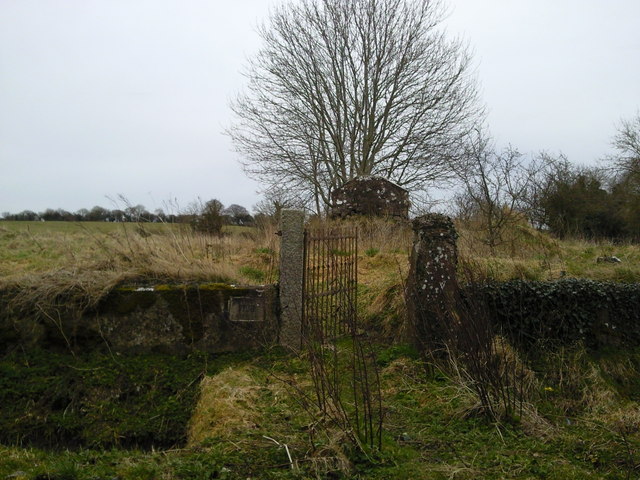 RuinChurch · 655 yd
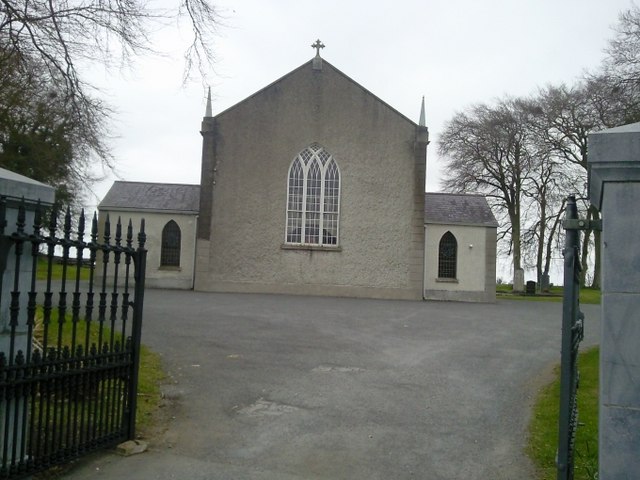 Catholic Church of the Assumptionchurch/chapel · 845 yd
 Font in RathreganFont · 879 yd
 Lismahon 1798 MemorialMonument · 1744 yd
 Site of Old CastleCastle, unclassified · 2.1 mi
 CastleCastle, motte · 2.1 mi
 1798 MemorialMemorial · 3.7 mi
 MullaghMountain / peak · 4.0 mi
 Caulstown Christmas Tree FarmForest · 4.6 mi
 Hanwood GardensHeritage attraction · 4.7 mi
 Ash HillMountain / peak · 4.9 mi