What is recorded here
Listed in the SMR (1989) and classified 'Enclosure Possible'. Not listed in the RMP (1995). Not indicated on any edition of the OS 6-inch map. Its inclusion in the SMR was based on the misinterpretation of a feature identifed from a high level aerial photograph (ACP V203/50-1, Roll 174, Pr. 13). In a field report dating to the early 1990s it is described as being 'on a gentle S-facing slope ..in an area of enlarged and recently drained fields'. There were no remains visible (SMR file.). Subsequent examination of the OSi 2010 aerial photograph revealed an oval-shaped cropmark, probably marking the remains of a rath.
Compiled by: Patrick F. O'Donovan
Date of upload: 01 October 2013
The monument record does not grant public access. Check the route and ask the landowner before entering private land.
- What survives
- Recorded monument
Places near here
 Stone CircleEnclosure · 901 yd
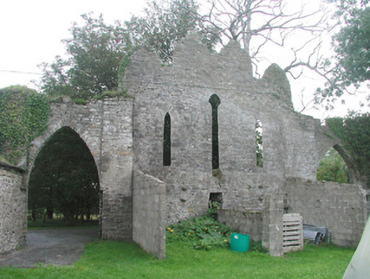 Cummeen Househouse · 909 yd
 Enclosure in CummeenEnclosure · 1074 yd
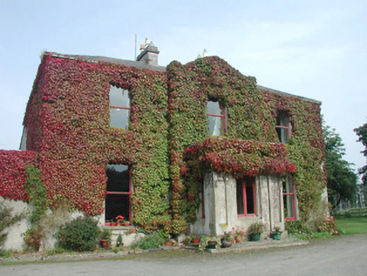 Woodville Househouse · 1251 yd
 Carrowmore Megalithic CemeteryHeritage attraction · 1.4 mi
 Carrowmore Visitors CentreVisitor information · 1.4 mi
 Knocknarea trailWalking route · 1.7 mi
 Castle (in Ruins)Castle, unclassified · 1.8 mi
 KnocknareaMountain / peak · 1.9 mi
 The GlenWood · 2.2 mi
 Doonanpatrick IslandIslet · 2.2 mi
 Oyster IslandIslet · 2.6 mi