What is recorded here
Situated on a low rise of ground in undulating countryside. According to the local landowner the site was bulldozed approximately twelve years ago. Not visible at ground level.
The above description is derived from 'The Archaeological Inventory of County Tipperary. Vol. 1 - North Tipperary' compiled by Jean Farrelly and Caimin O'Brien (Dublin: Stationery Office, 2002). In certain instances the entries have been revised and updated in the light of recent research.
Date of upload/revision: 22 September 2008
The monument record does not grant public access. Check the route and ask the landowner before entering private land.
- What survives
- Recorded monument
Places near here
 Site of Robertstown CastleArchaeological place · 803 yd
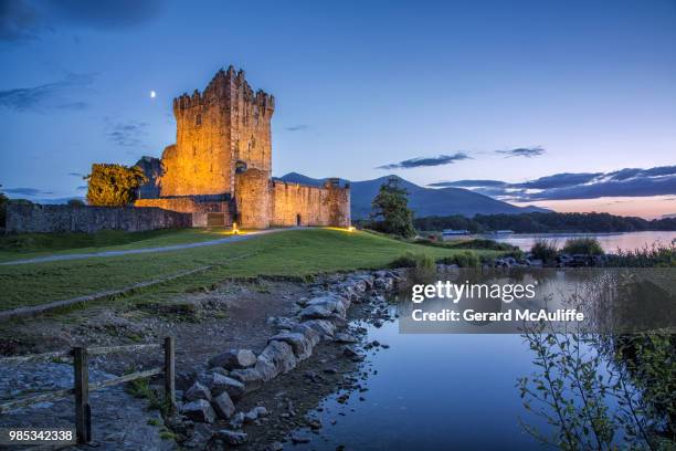 Rorardstown Castle (in Ruins)Castle, unclassified · 807 yd
 Enclosure in Rorardstown UpperEnclosure · 845 yd
 Enclosure in KilvilcorrisEnclosure · 1330 yd
 Kilvilcorris BogForest · 1490 yd
 Brookley Househouse · 1.4 mi
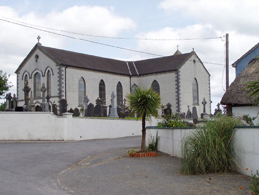 Saint Mary's Catholic Churchchurch/chapel · 1.4 mi
 Morris's GroveForest · 3.2 mi
 Pallas HillMountain / peak · 4.1 mi
 KnockaneMountain / peak · 4.7 mi
 Pheasant IslandHeritage attraction · 5.8 mi
 Lár na PáirceMuseum · 5.8 mi