What is recorded here
According to O'Kelly (1969, 5) in his description of monuments in the townland of Rathealy he mentions the, 'fine rath [KK013-059001-] is now under the care of the National Monuments Commissioners. There is a small double rath [KK013-058----] three fields westwards and three more further south-west [KK013-073----- and KK013-074-----]'. Of the three further SW, only two are indicated on the 6-inch OS maps. The description of a third enclosure in this vicinity may be an error by O'Kelly (three rather than two), or there may be a third enclosure which is not depicted on the 6-inch OS maps and which is currently unlocated.
Compiled by: Jean Farrelly
Date of upload: 2 April 2020
The monument record does not grant public access. Check the route and ask the landowner before entering private land.
- What survives
- Recorded monument
Places near here
 CastleCastle, ringwork · 657 yd
 Church in ruinsChurch · 706 yd
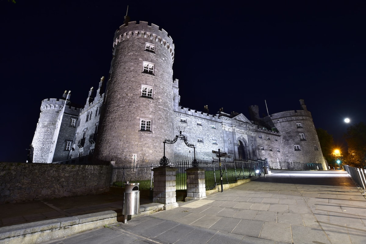 Newengland Ringfort (rath)Archaeological place · 1120 yd
 Enclosure in Adamstown UpperEnclosure · 1650 yd
 Not indciatedCastle, unclassified · 1.5 mi
 Church (in ruins)Church · 1.7 mi
 The CopseWood · 2.2 mi
 Kildrinagh WoodForest · 2.2 mi
 Freshford LoopWalking route · 2.8 mi
 Emma Jane Browne-ClaytonMemorial · 3.3 mi
 Clomantagh HillMountain / peak · 4.6 mi
 Warhouse HillMountain / peak · 6.1 mi