What is recorded here
Rathbourn held a high mound ringed by a trench, yet no survey marker ever confirmed the claim. The earth may have swallowed the boundary or the boundary may have vanished before the first surveyor arrived. Whatever disappeared, it did so completely, leaving only a name and an empty field behind.
According to Doyle (1981), in 'Rath Bourne: I am told that this is a high rath, topped by a mound, and surrounded by a trench'. There is no enclosure indicated on the 1st (1839) 6-inch OS map or the 1900 revision. The location of this enclosure is unknown within the townland.
Compiled by: Jean Farrelly
Date of upload: 2 March 2021
The monument record does not grant public access. Check the route and ask the landowner before entering private land.
- What survives
- Recorded monument
Places near here
 Enclosure in Rathbourn OR RatheenmoreEnclosure · 349 yd
 Site of Raheenmore CastleCastle, unclassified · 892 yd
 Enclosure in ConeygarEnclosure · 1210 yd
 St. Martins Church (in ruins)Church · 1240 yd
 Lyrath Housecountry house · 1577 yd
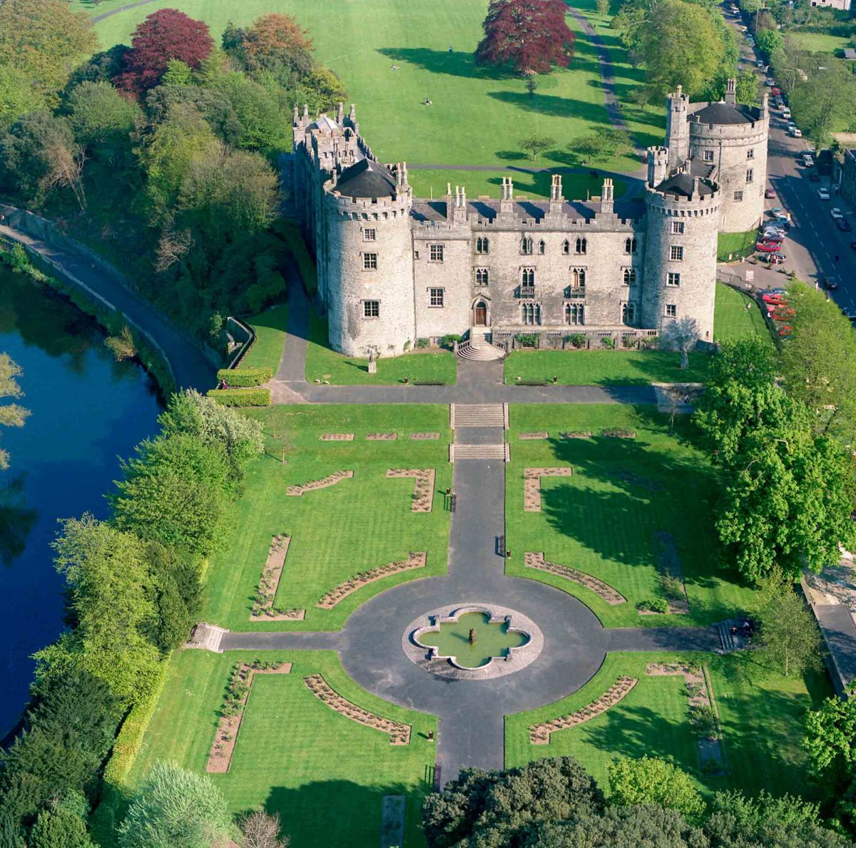 Site of Lavistown CastleCastle, unclassified · 1664 yd
 Saint Molagga's WellSpring · 1.8 mi
 HawthornHawthorn · 2.0 mi
 St. Mogarra’s WellSpring · 2.2 mi
 Dunbell Big RingfortWood · 2.4 mi
 Paddy ButlerMemorial · 3.6 mi
 Time CapsuleMemorial · 3.7 mi